Climbing Gozalandia Waterfalls

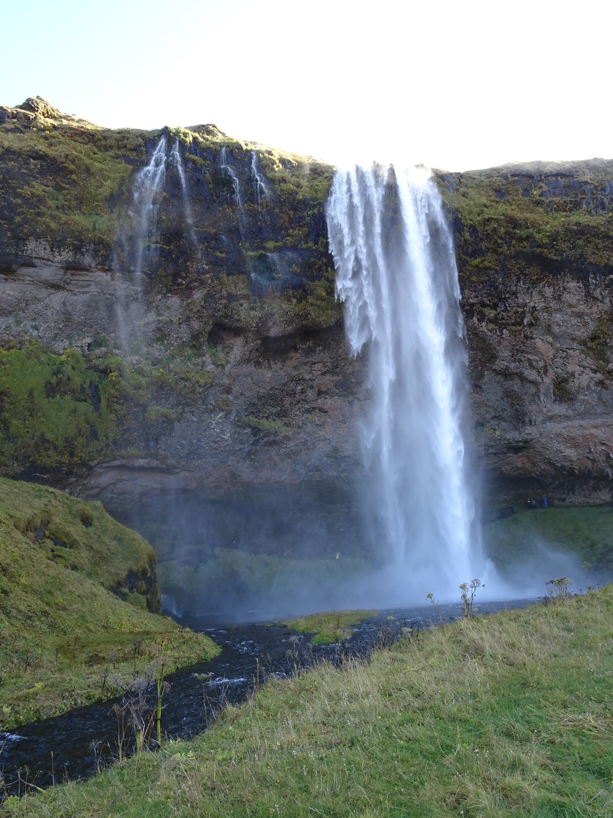
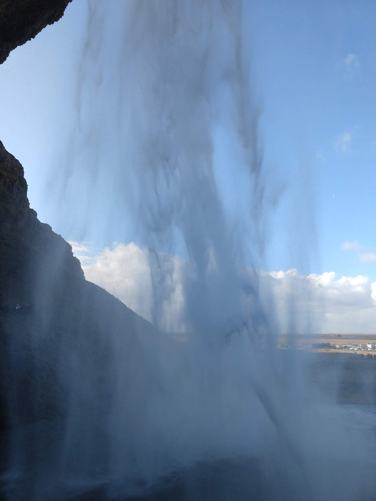
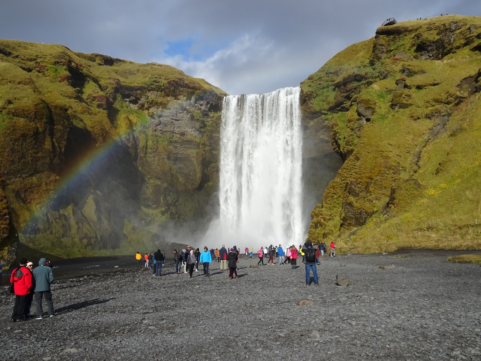
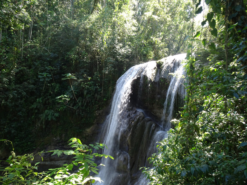
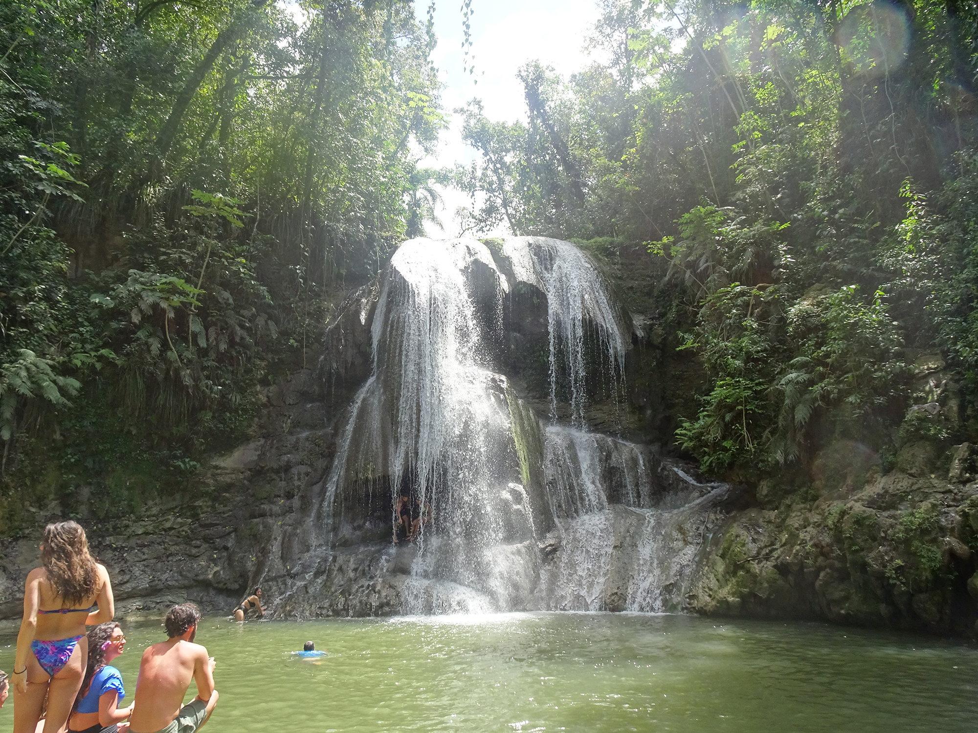
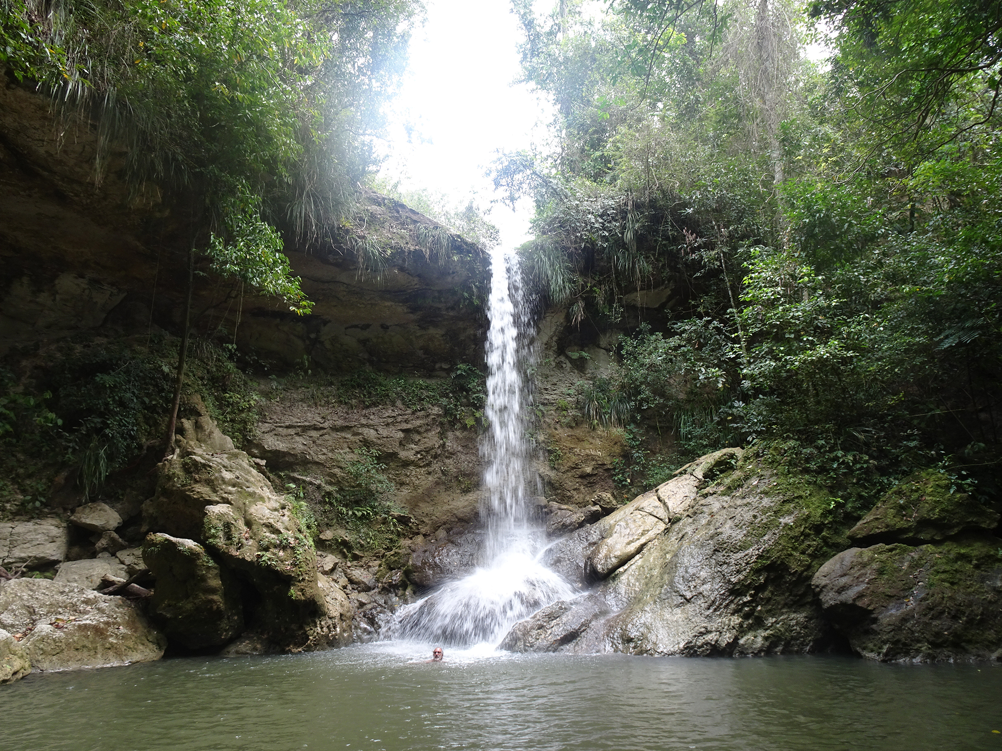
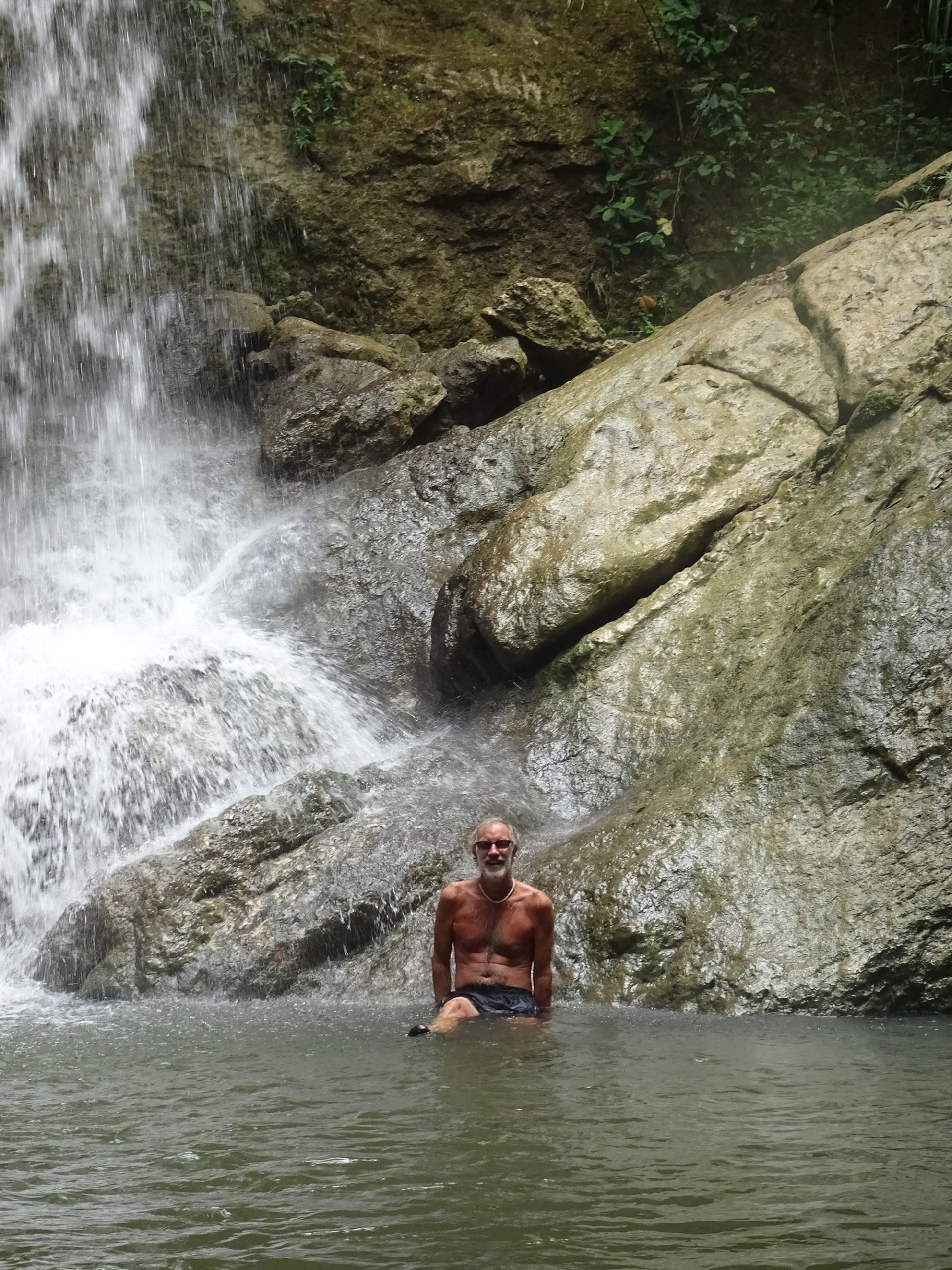
Wear good, non-slippery water shoes and a bathing suit if you decide to visit Gozalandia Falls, because you will not be able to keep from jumping into the enticing pool at the foot of this huge waterfall! The main waterfall is truly amazing, at least 50 feet tall, and there are several places where you can climb up and jump in (at your own risk). Or just swim in the pool at the bottom, watching fish swim around your feet.

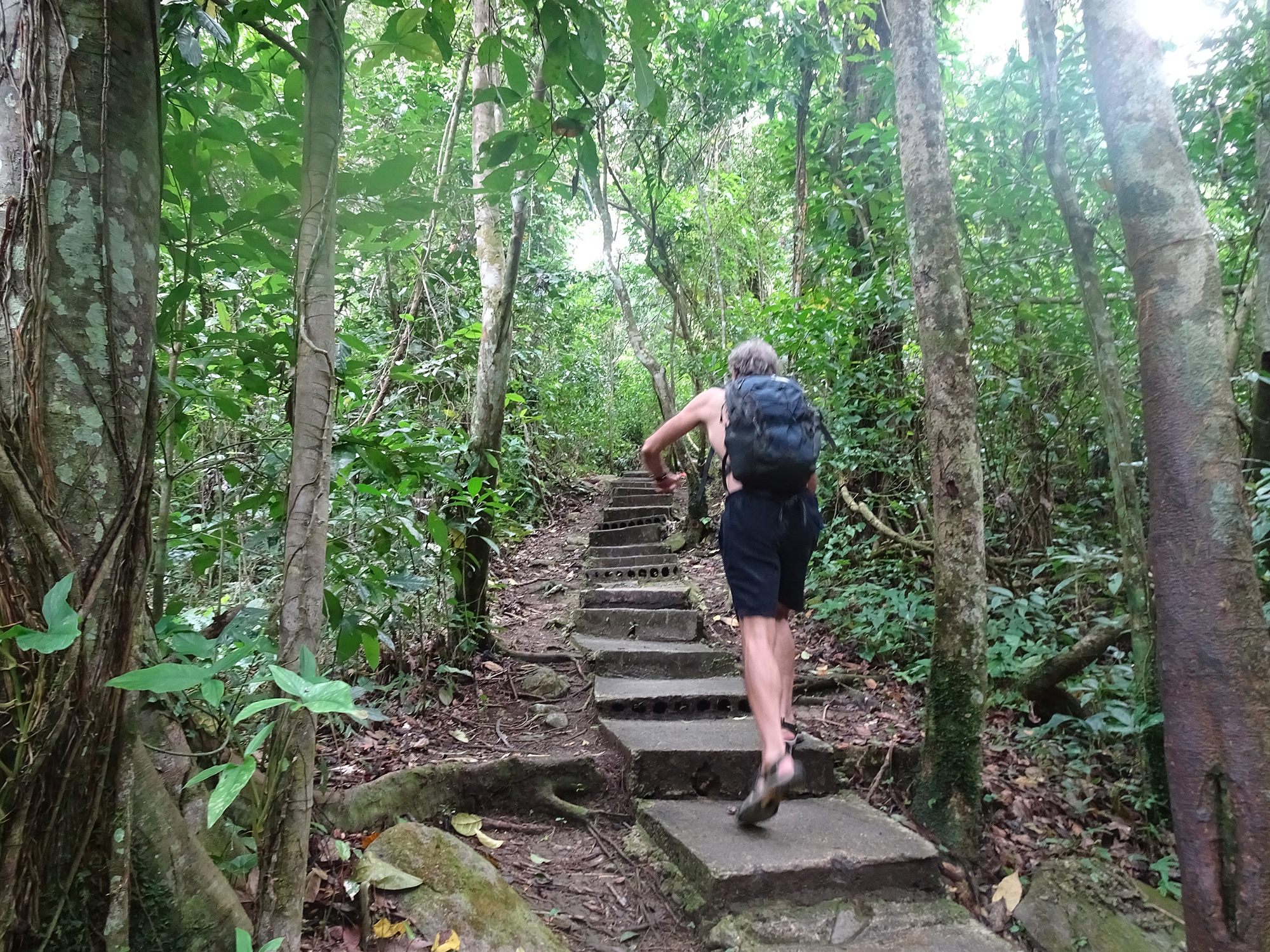
There is a cement sidewalk and stairs to lead you to the main falls and several above, plus you can just walk in the creekbed.

The drive to get to Gozalandia on narrow, winding mountain roads is not for the faint of heart, which is the only reason you might consider paying a guide to take you. Otherwise, just set out on your own and navigate carefully! It’s about 1 1/2 from San Juan in San Sebastien.

The gate is open from 10 AM-6 PM, and there is a $10 charge for parking. Go early to avoid the crowds, though the community feel of lots of people watching each other swim and jump has its own appeal. Make sure you take time to enjoy a drink and snack at the end of the day in the little restaurant by the parking lot, which overlooks a green pond populated by turtles.

Be aware that the falls can be dangerous if there’s a lot of rain, so use caution and common sense.
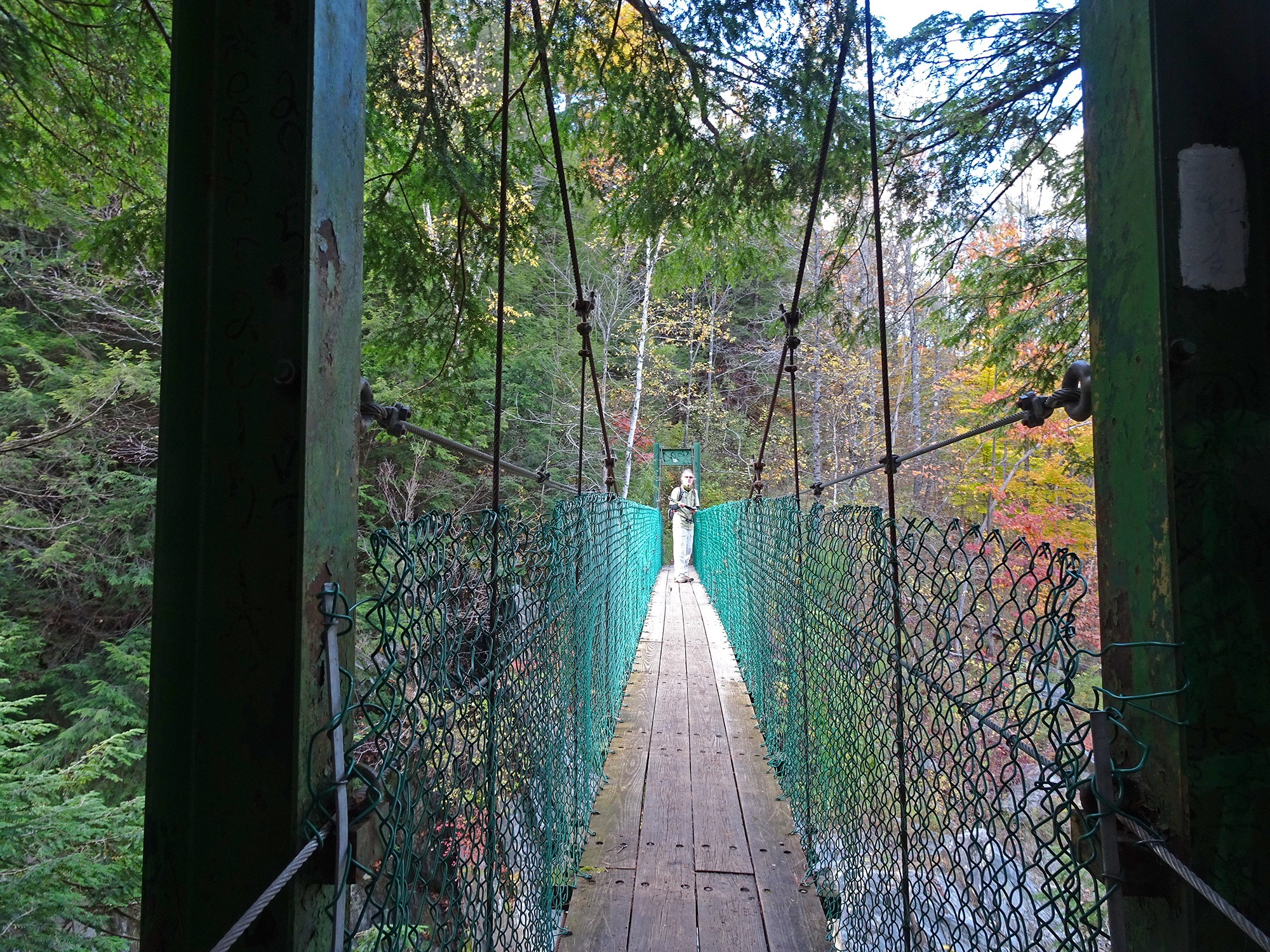
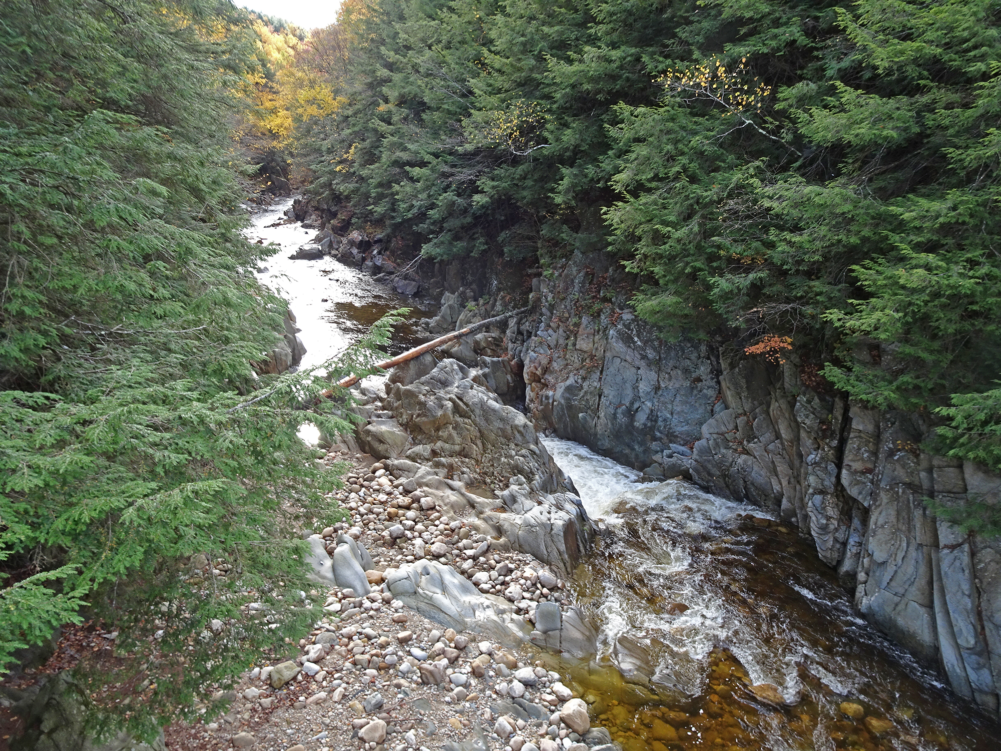
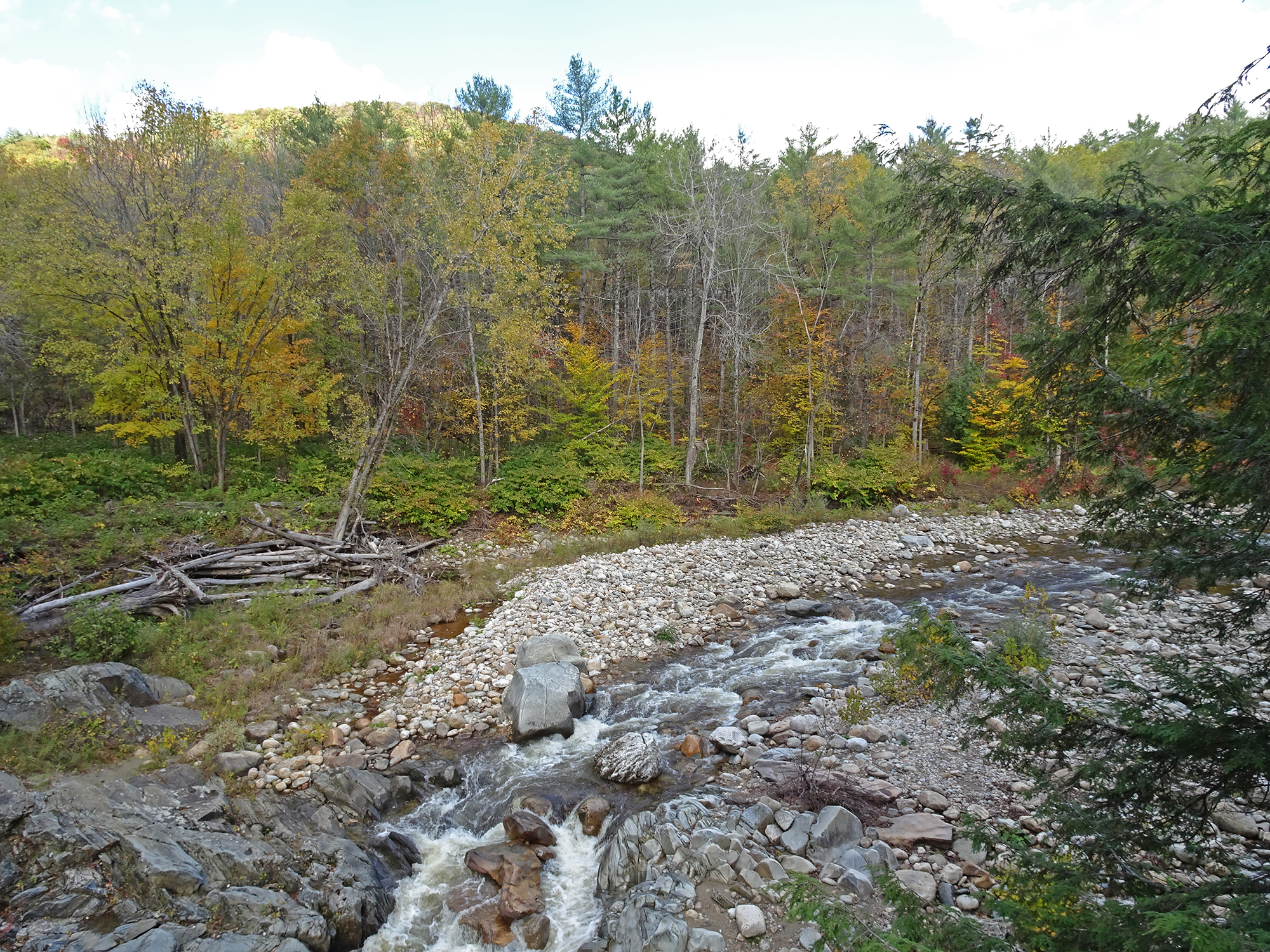
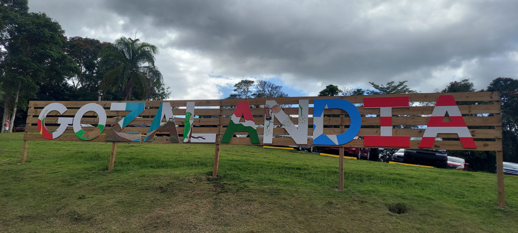
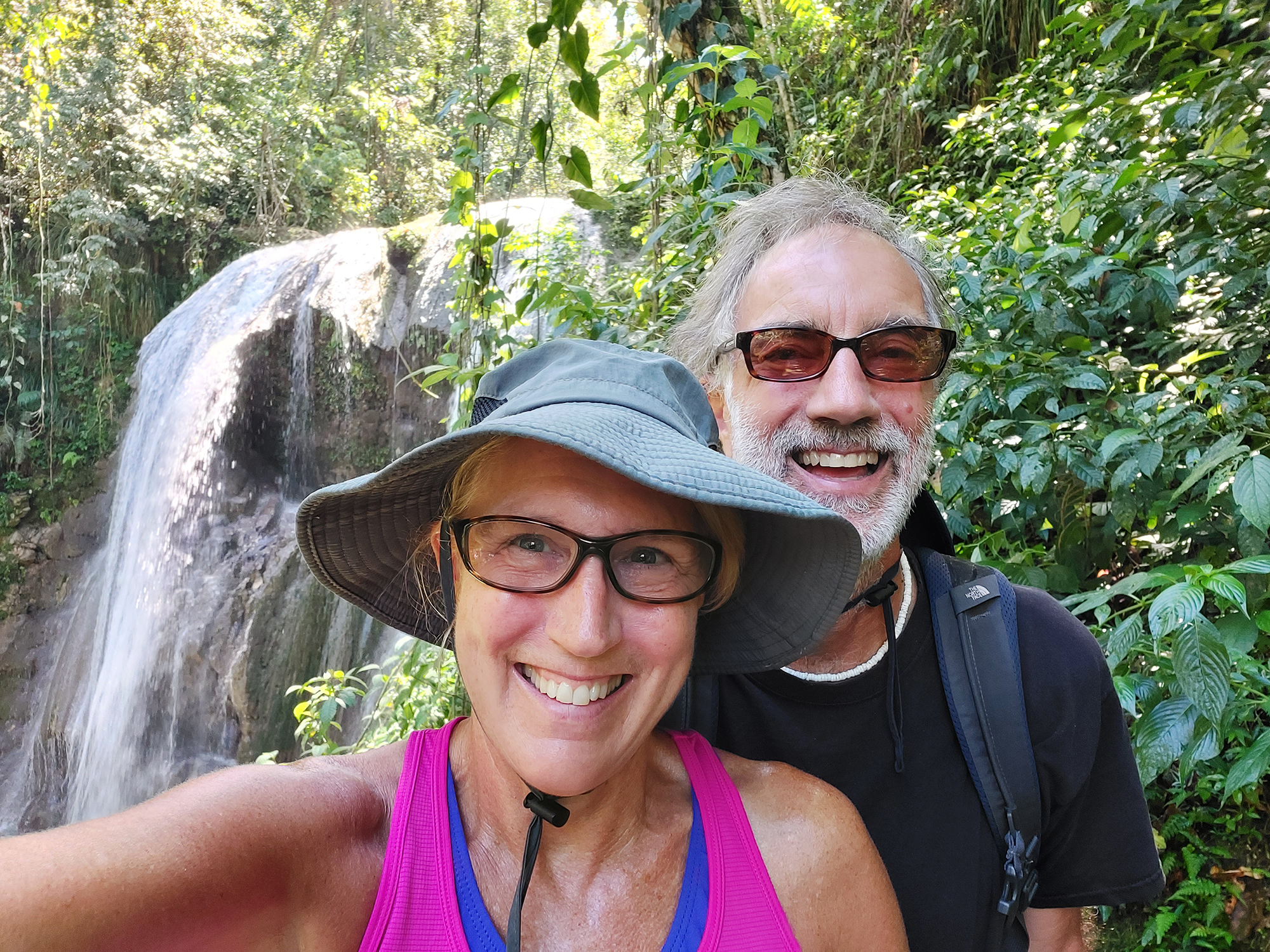
Images of the Falls

First sight of Gozalandia Falls

Links

Info on the falls: Puerto Rico Day Trips.

How to get there: Google Map

Fall Foliage in Clarendon Gorge

Yesterday we hiked on the Appalachian Trail, heading south at the Clarendon Gorge South trailhead. We hiked this during the summer, and after noticing while running errands in Rutland that this valley was still at its fall foliage peak, we decided to head over and see how it looked in full autumn regalia.

The Suspension Bridge

This hike is interesting from the very first quarter-mile because you cross the Bob Brugmann Suspension Bridge, which was built in the late 1970s and named for a close hiking pal of my friend Welles Lobb who was swept to his death while crossing the gorge as a teen. From the middle of this shaky bridge, you have outstanding views in both directions of the Clarendon Gorge Falls, a popular day trip for local residents. At the end of the hike we passed some through-hikers bathing in the low waters of the gorge (but respectfully did not take any pictures of their bare asses).

Bob Brugmann Suspension Bridge

The Trail

Turn right immediately after crossing the bridge and you begin the steep ascent onto the Appalachian/Long Trail. Warning: This trail is never not steep. This is not a hike for the faint of heart. It is difficult and rocky in parts, and extremely slippery. My new hiking poles came in handy, and even Bob pulled out his for the descent. But it is worth it for the rugged beauty of the forest you pass through.

The Views

We were rewarded with outstanding views from the two vistas along the ridge, which look west through a valley that hosts Rutland Regional Airport below. The day was so clear that we could easily see the orange-brushed Adirondacks in the distance.

The Planes! The Planes!

Our timing in reaching the vistas was perfect because we saw two planes taking off — one a puddle jumper and one a jet, probably filled with New Yorkers going home after the long Indigenous Peoples Day weekend.

We heartily recommend this hike to anyone visiting southern Vermont!

Iceland, again: Hot Springs, a Geyser and Spectacular Waterfalls

Part 2: GOLDEN CIRCLE

Day 3 – Wed., Oct. 3 Golden Circle


This is what we did today:

Bathed in the Secret Lagoon, the oldest hot spring in Iceland – est. 1891. 


Visited the incredible Gullfoss Waterfall.


Watched the Stokkur Geyser blow. 


Drove through Thingvellir National Park, at the point where the North Atlantic and European tectonic plates collide, creating this land of fire and water that is Iceland.


Celebrated my 59th birthday with fish and chips, Icelandic beer and chocolate cake.


Iceland, Brutal and Beautiful

Part 1: SOUTH ICELAND

Day 1 – Mon., Oct. 1

Arrival

Iceland is a COLD place. It’s as far north as Alaska! Who knew? It is also full of unpronounceable places, most of which start with the letter “S,” and many of which are waterfalls and glaciers.
On Arrival Day, we stepped off the Icelandair jet at 6:20 AM into a brutal monsoon – pouring rain, 50 mph wind, and cold! Why did no one warn us that Iceland is so effing cold? After the extreme discomfort of getting to the shuttle and getting our rental car – fortunately a lovely Forrester with much-needed heated seats — we drove through wild weather for 2 ½ hours to get to our lodging, a sheep farm called Skálatjörn Guesthouse. There, we hunkered down and napped for three hours.
Then, somewhat refreshed, Lexie relaxed while Bob and I went to Selfoss, 18 km away, for a few groceries, and to soak in a thermal pool.

The weather the WHOLE day

Day 2 – Tue., Oct. 2

The Ring Road


The day dawned still cold, but thankfully sunny. We let Lexie sleep late (she is a teenager, after all) and set off around 11 AM for a south coast expedition on Rte. 1, the Ring Road, to the town of Vik. We stopped at several waterfalls along the way. If we were going to do it again, we would definitely bring hiking boots. But thankfully, we had parkas, hats and gloves, because the temperatures were in the 30s all day, and the occasional bursts of wind cut through your bones.
Here are the waterfalls we visited:

Urridafoss Waterfall – This low, wide waterfall was ten minutes from our guesthouse. No one was there and it had a Niagara Falls feel. The hike was short and the view was spectacular.

Urridafoss Waterfall
Seljalandsfoss Waterfall – You can actually walk on a path behind this incredibly high (65 meters tall), loud, dramatic waterfall. Bob did. Check out the pics he got! (He was soaked afterward) 


Seljalandsfoss Waterfall

View from the belly of the beast, by Bob

Soaked afterward

Gliufradbui, the hidden waterfall, was a quarter-mile hike away. Unfortunately, the cave you used to be able to use to access it was now closed for safety reasons. 
Look deep to see the hidden waterfall

Skogafoss Waterfall had a rainbow to its left that seems to be its permanent partner. It also has a challenging trail you can hike to the mountaintop to get views of the falls from above. Also, lots of sheep neighbors!
Skogafoss Waterfall 

View from above

 Finally, we discovered the Dryholaey Nature Reserve, with its iconic rock formations in the ocean (The Needles), famous arch and end-of-the-world feel. 


Dryholaey Nature Reserve
  

We stayed up late and saw a subtle display of the Northen Lights before going to bed. A very satisfying day!

Next stop … The Golden Circle. Watch for updates!
Social media & sharing icons powered by UltimatelySocial
Facebook
Instagram
YouTube
Twitter
Pinterest