Birdwatching at Laguna Cartagena

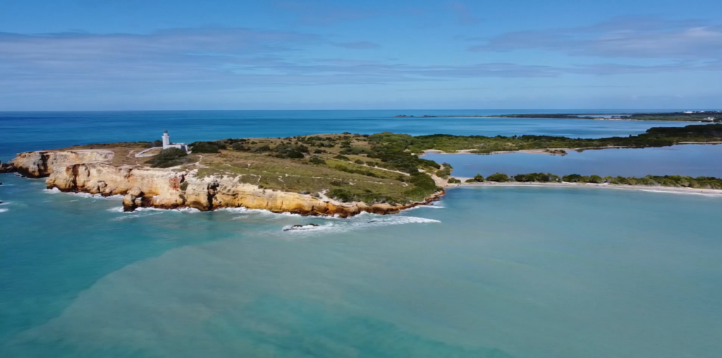
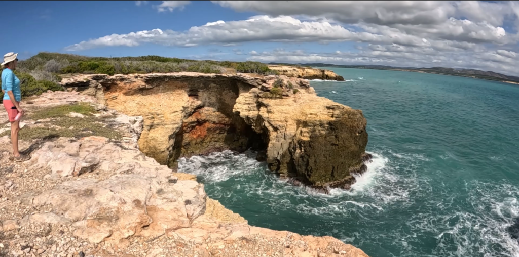
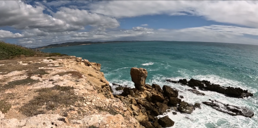
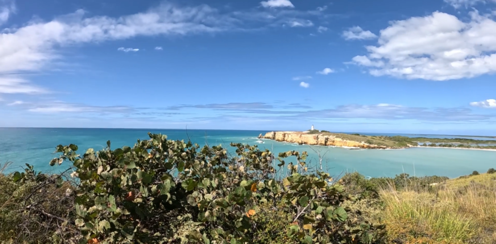
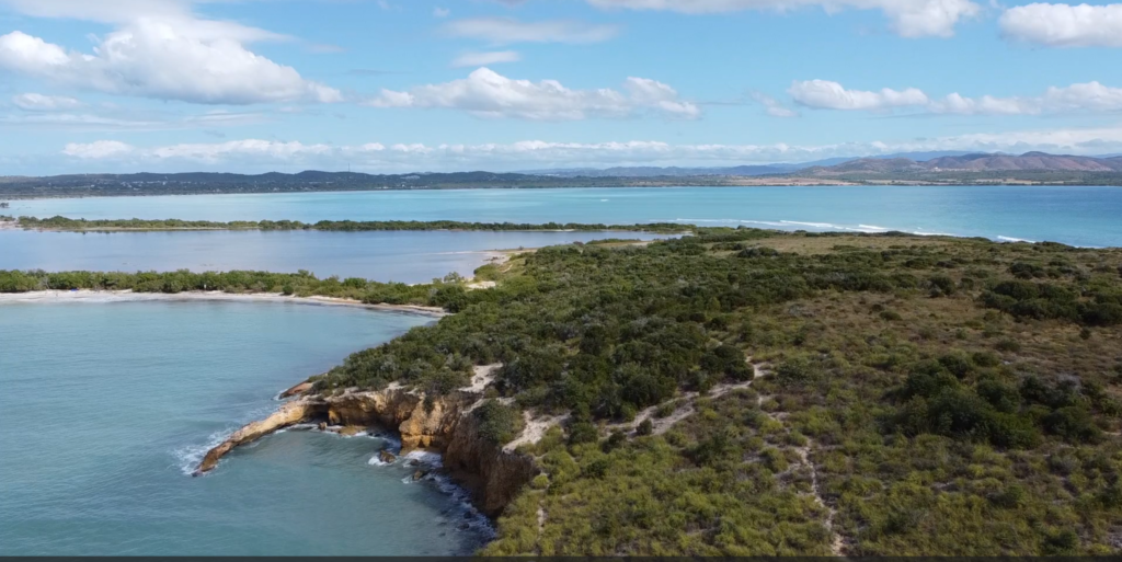
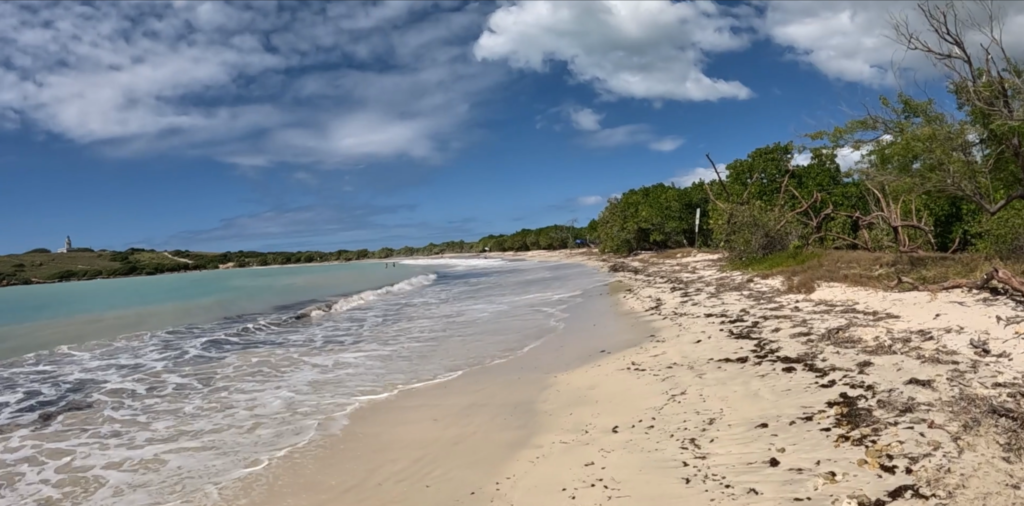
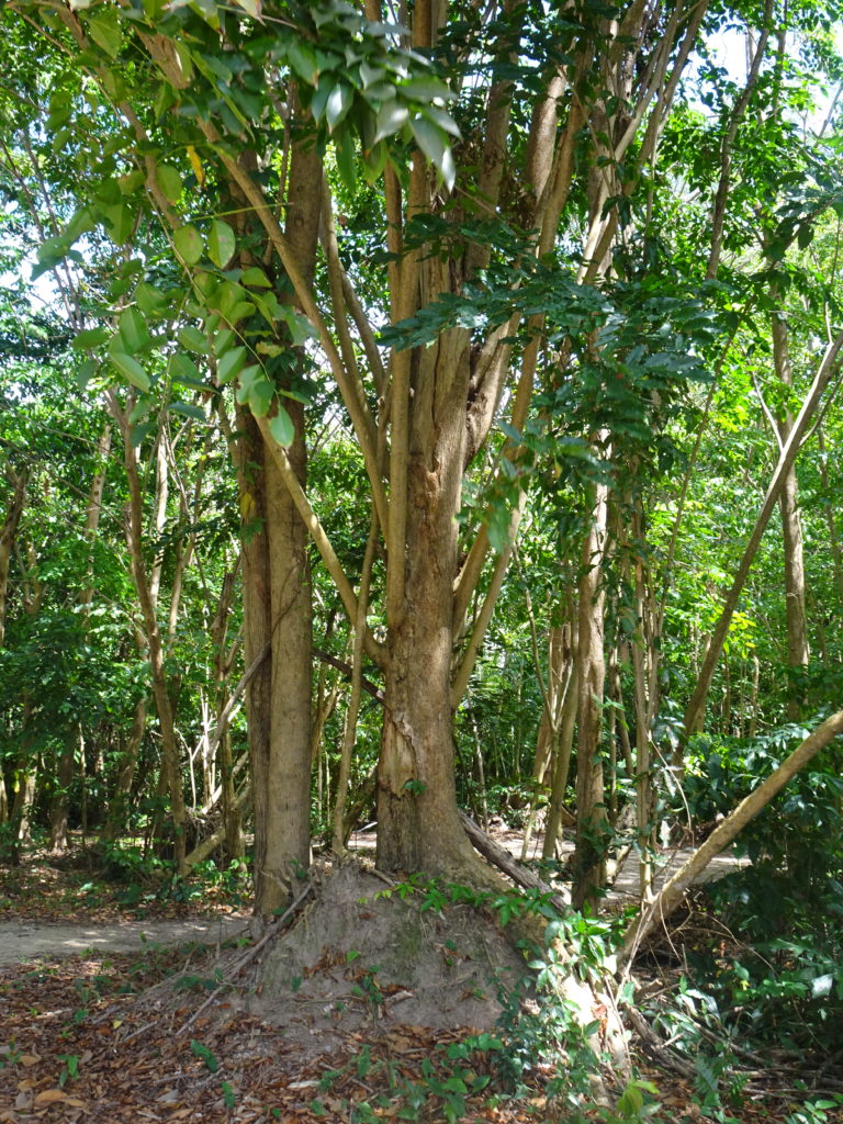
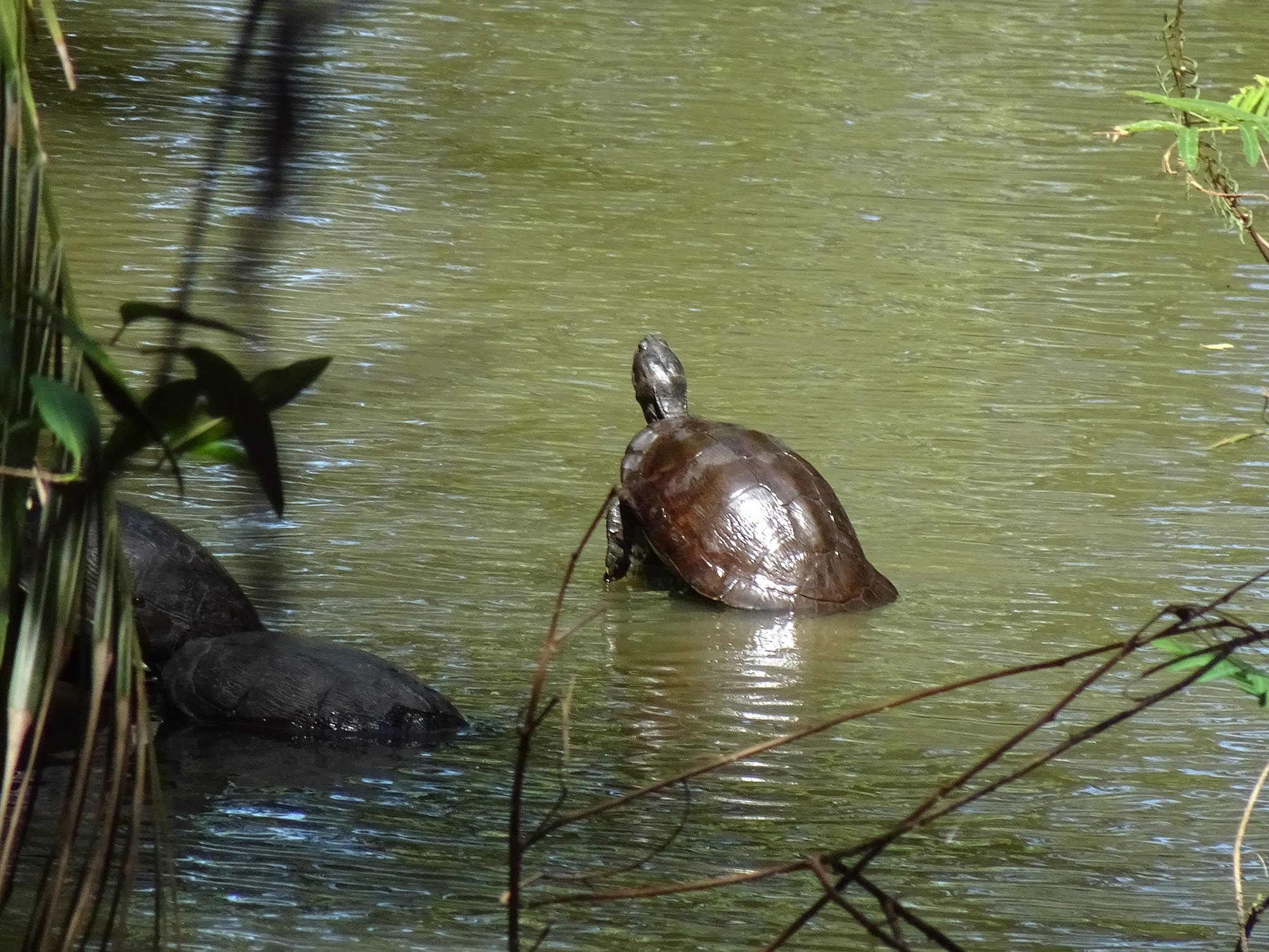
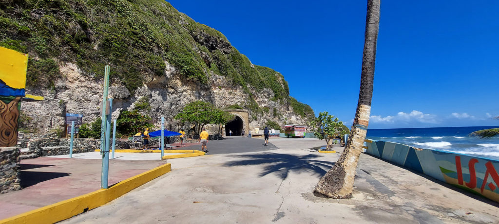
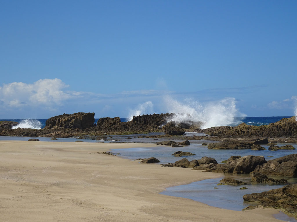
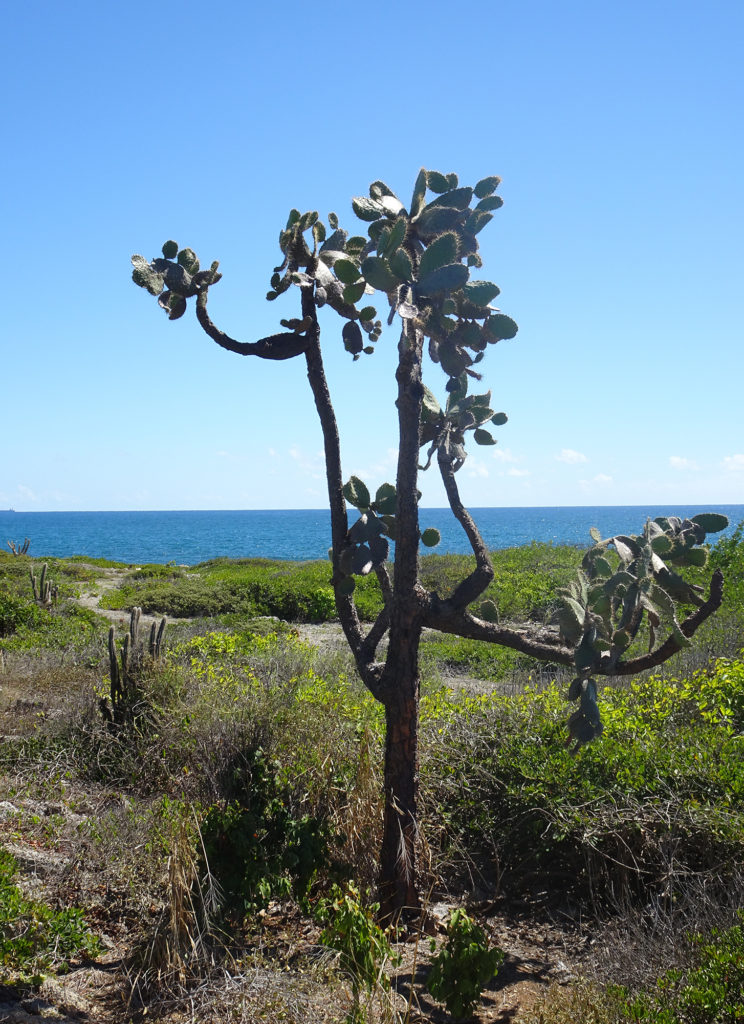
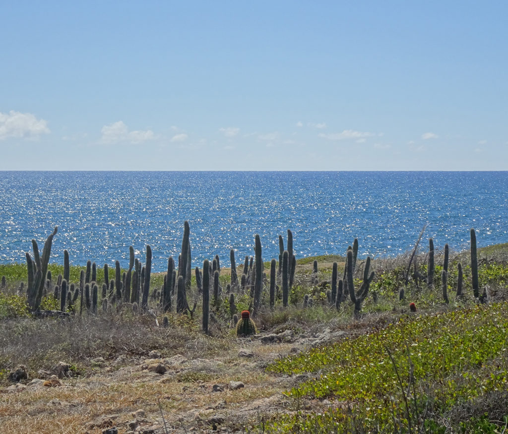
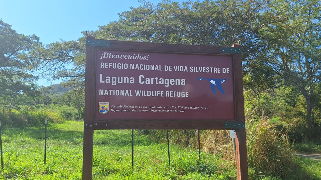
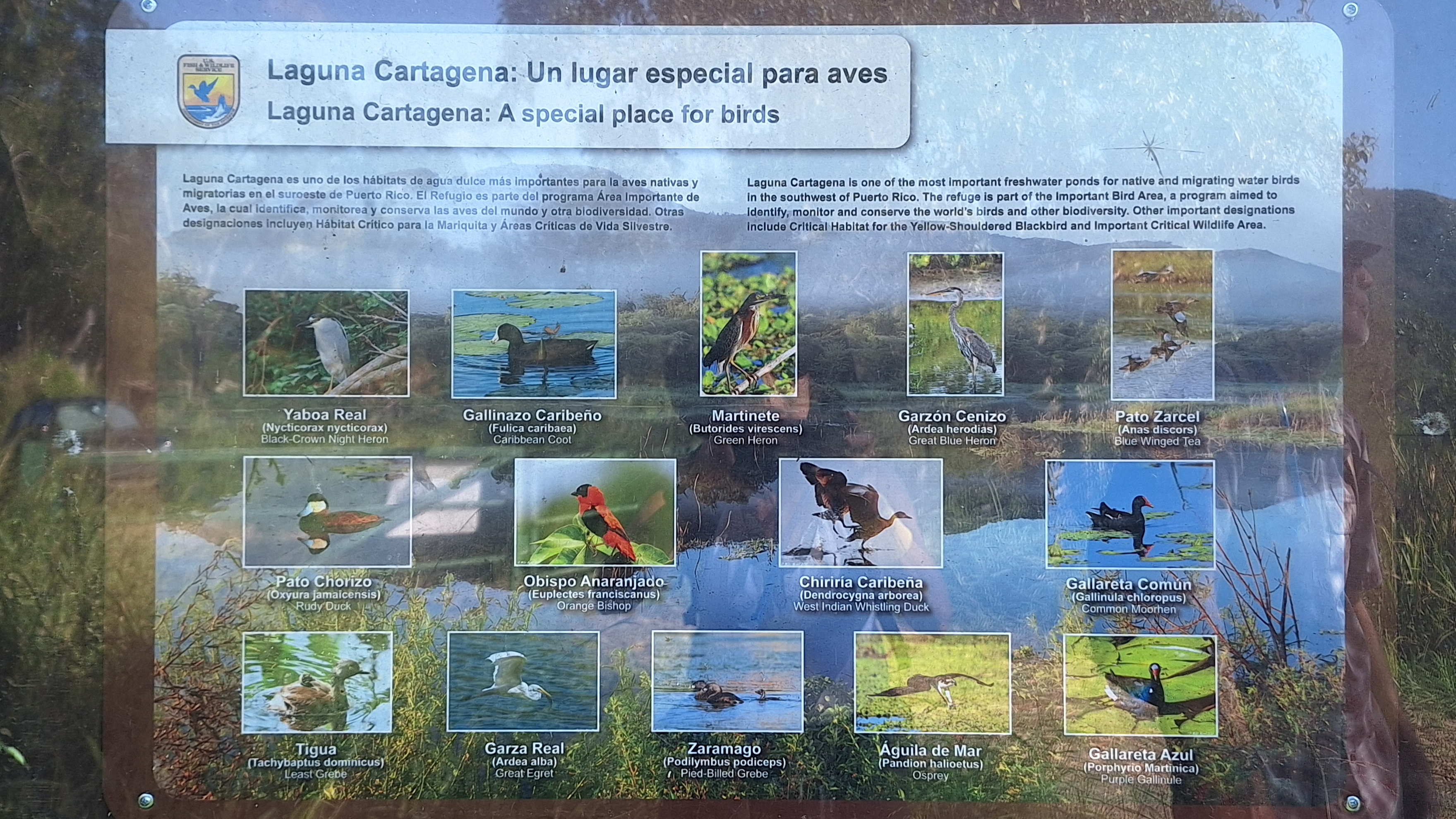
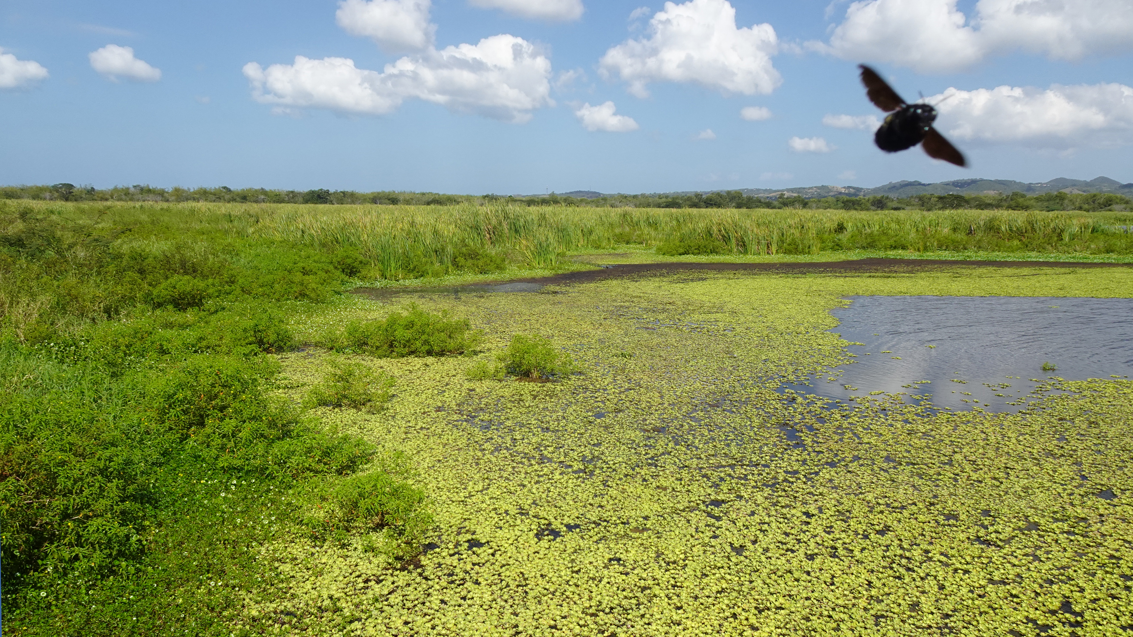
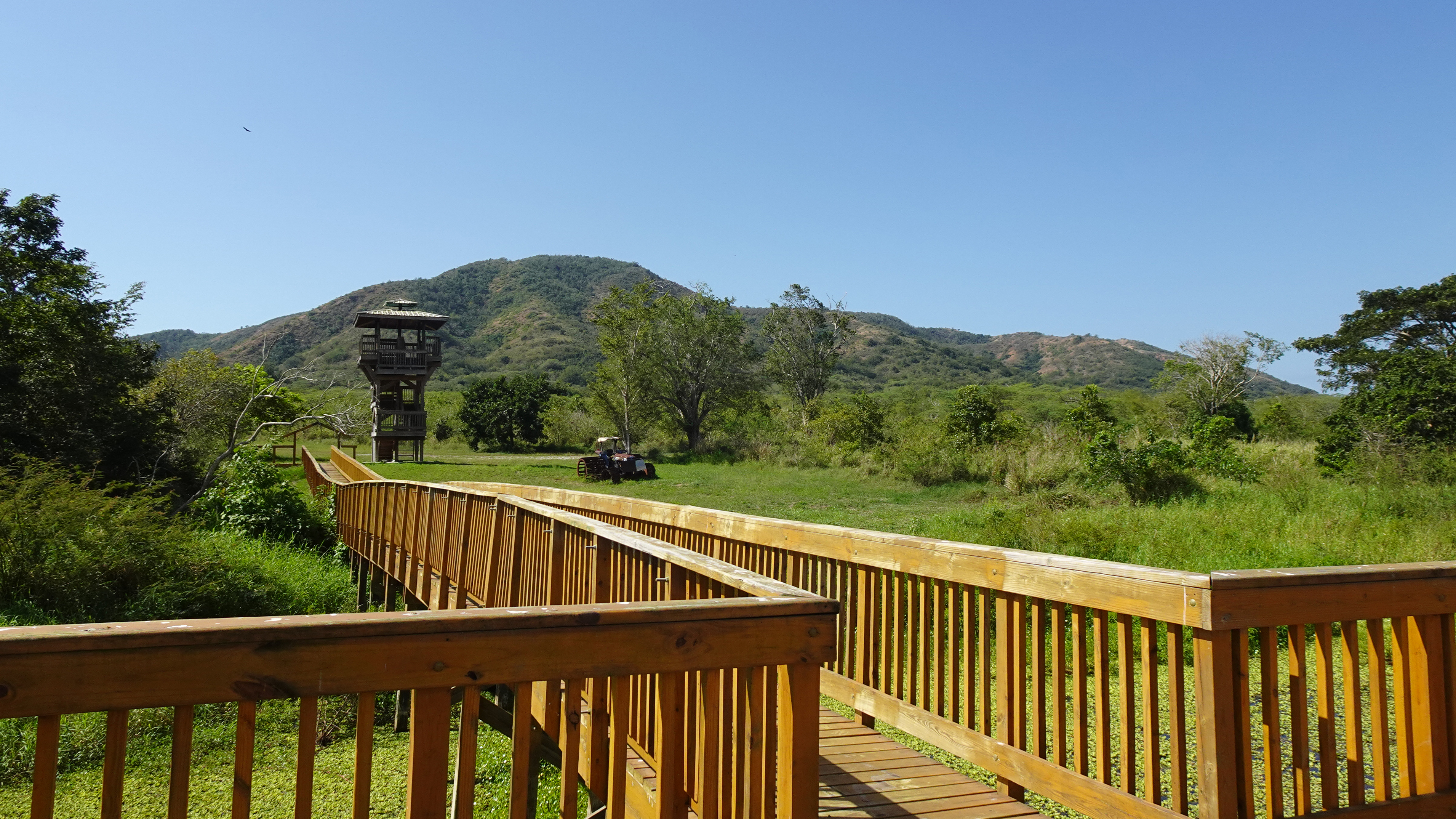
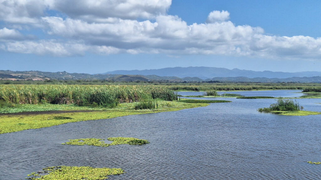
The Laguna Cartagena National Wildlife Refuge bursts with birds year-round, but also offers hiking and mountain biking trails and some pretty spectacular scenery. Managed by the U.S. Fish and Wildlife Service, this wetland is one of the most important freshwater habitats for migrating and resident aquatic birds in Puerto Rico.

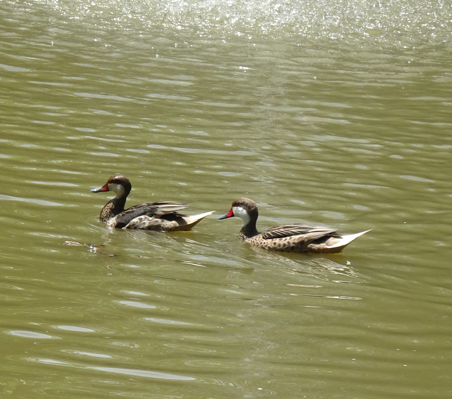
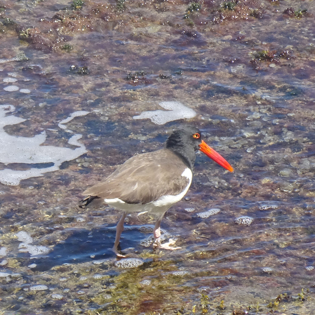
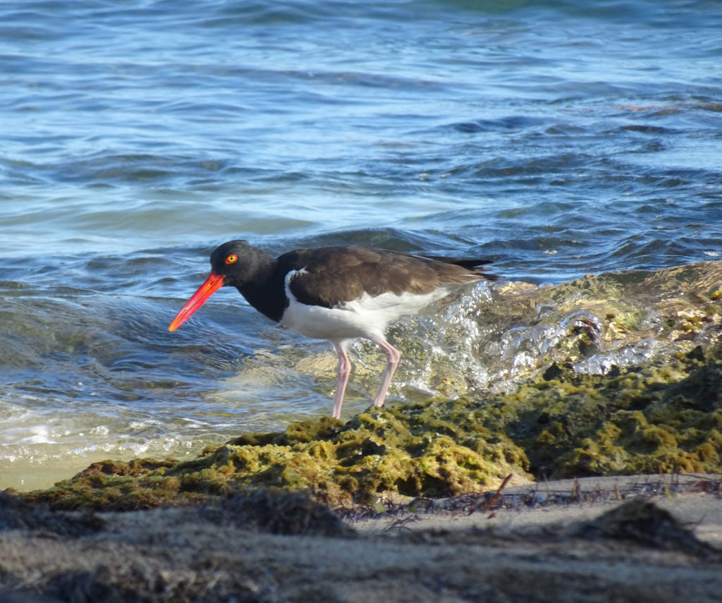
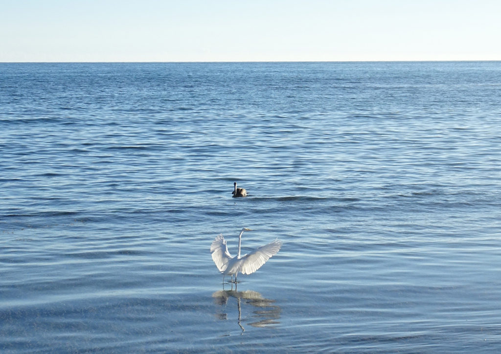
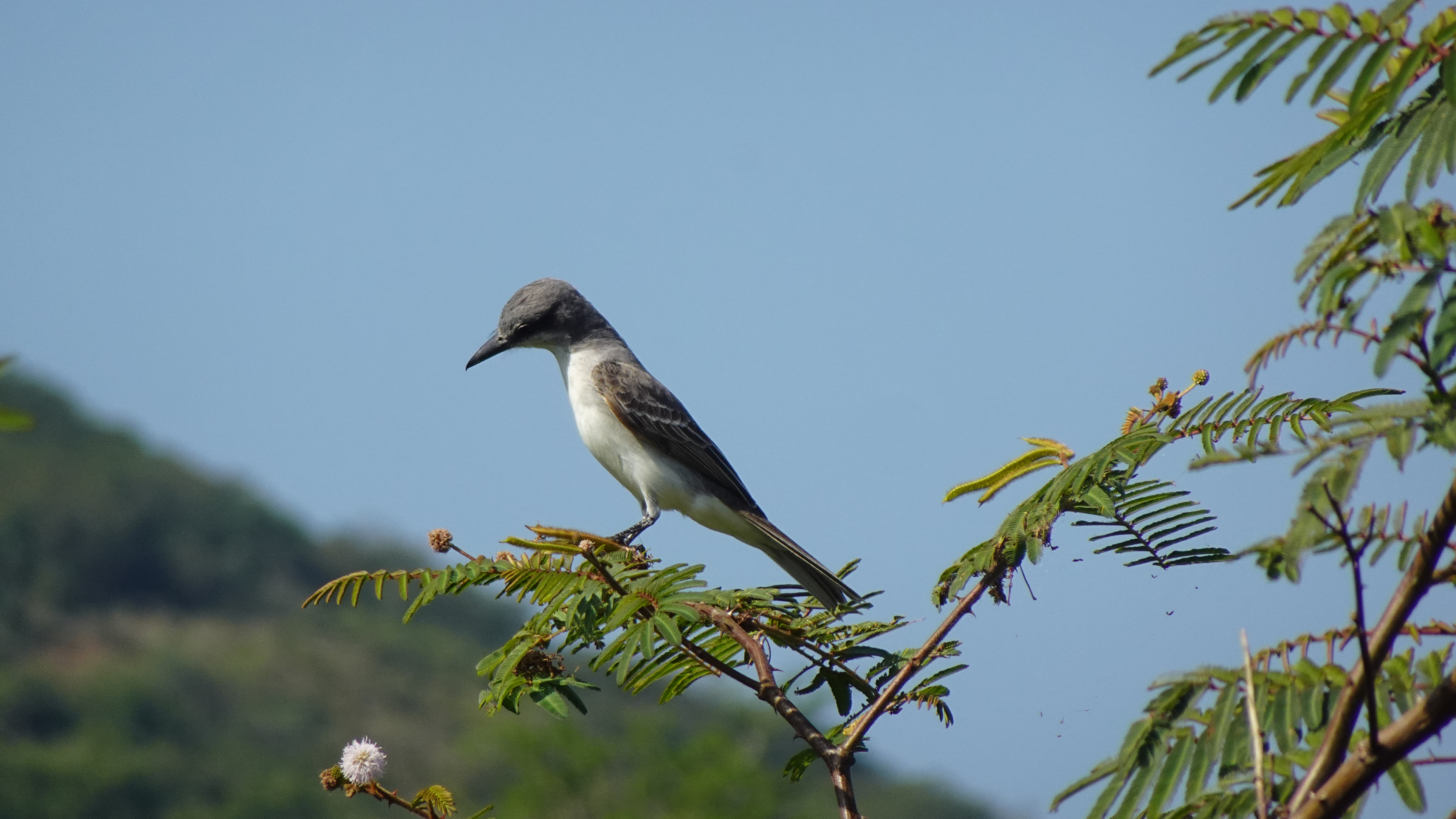
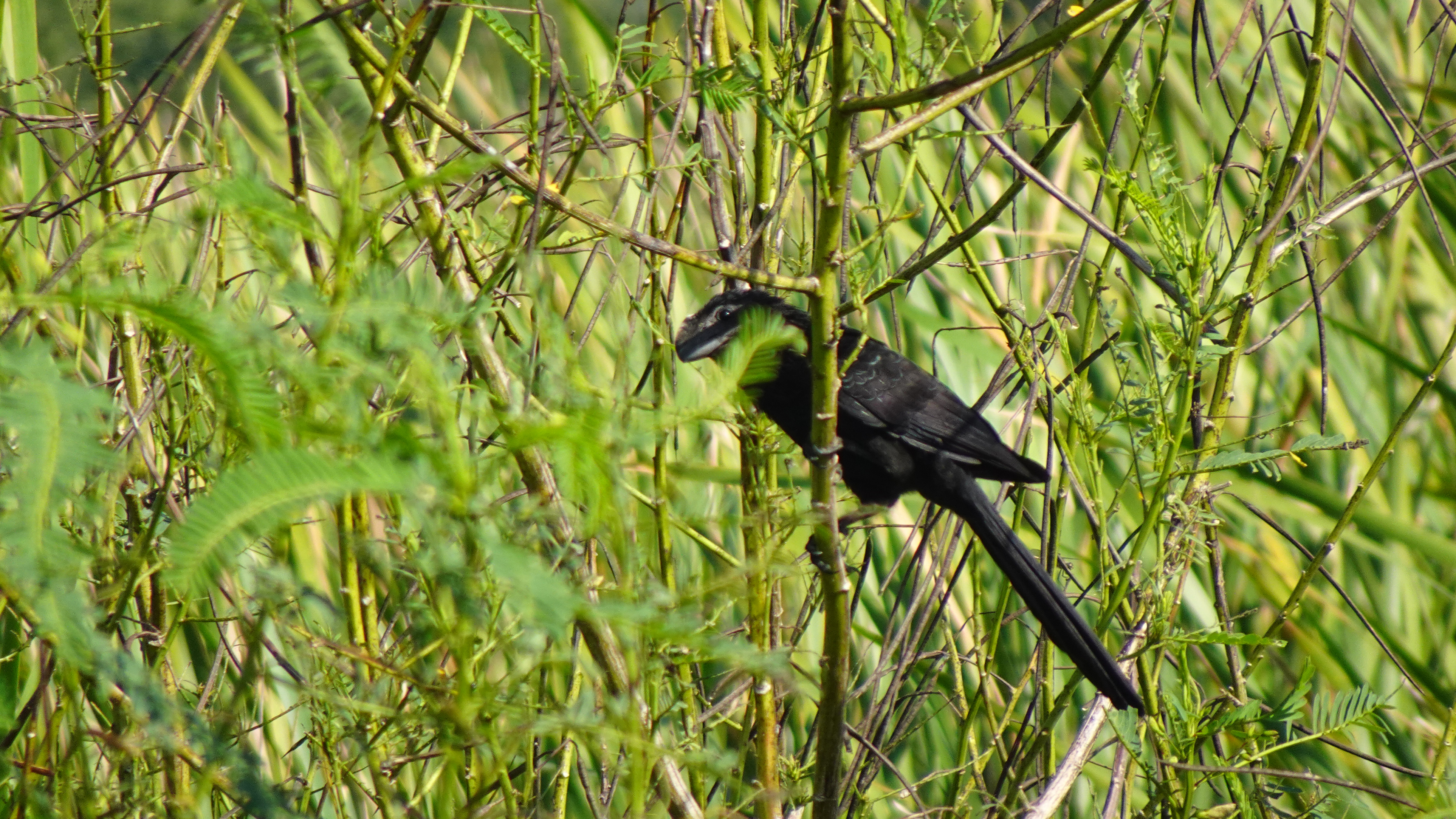
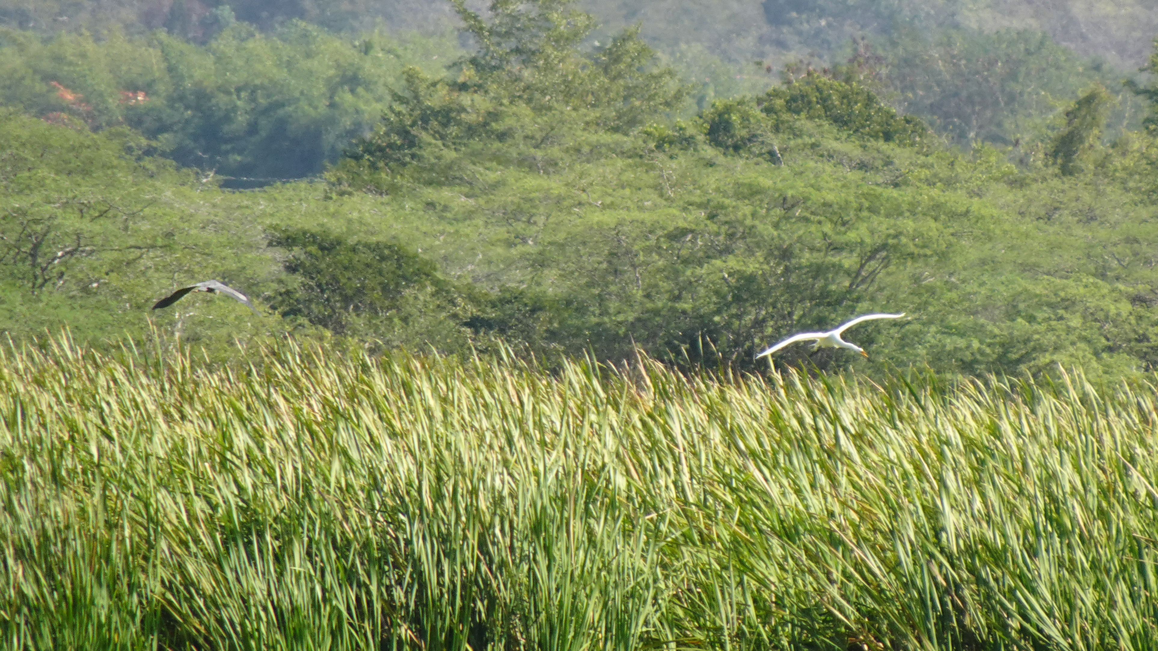
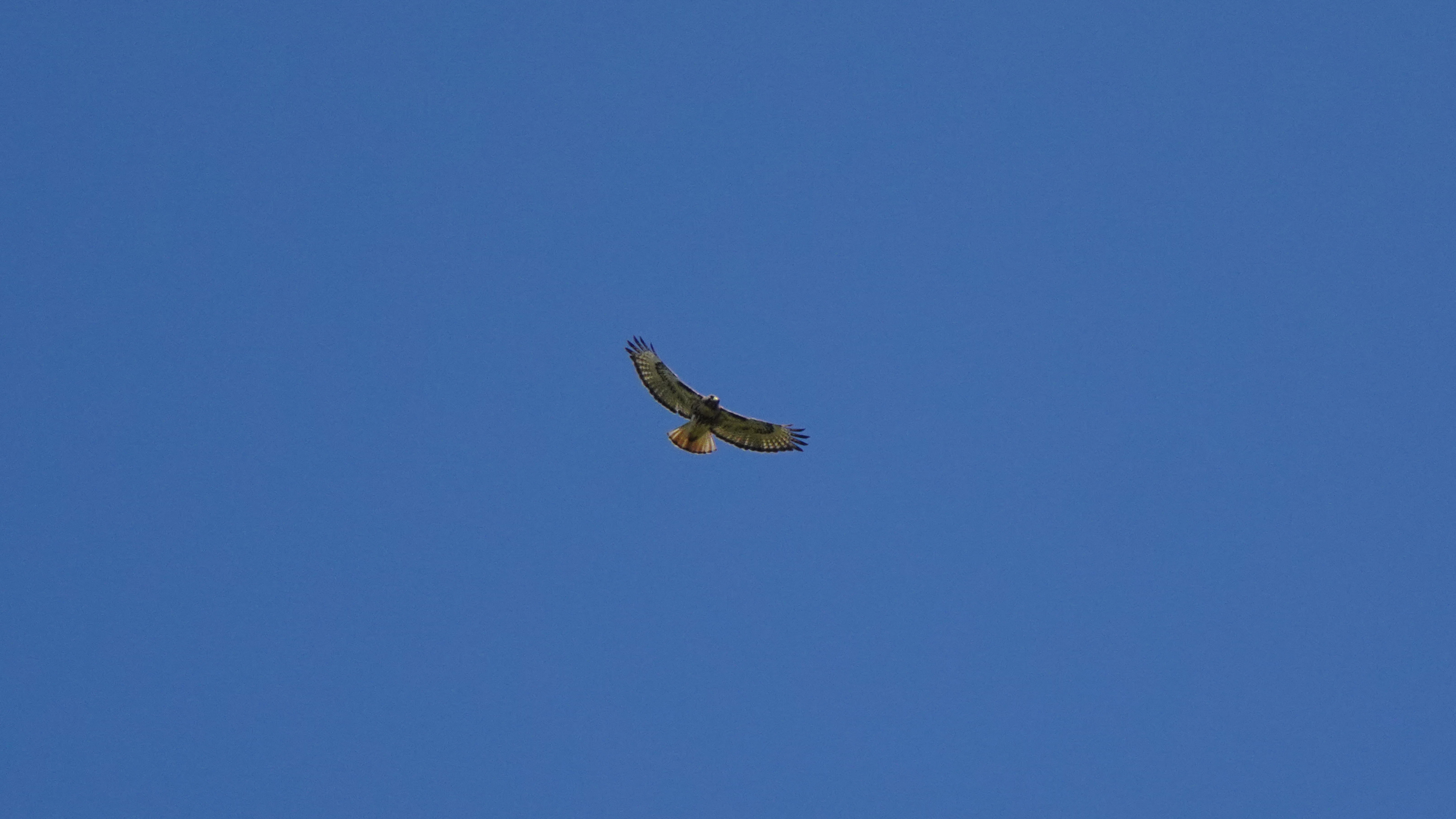
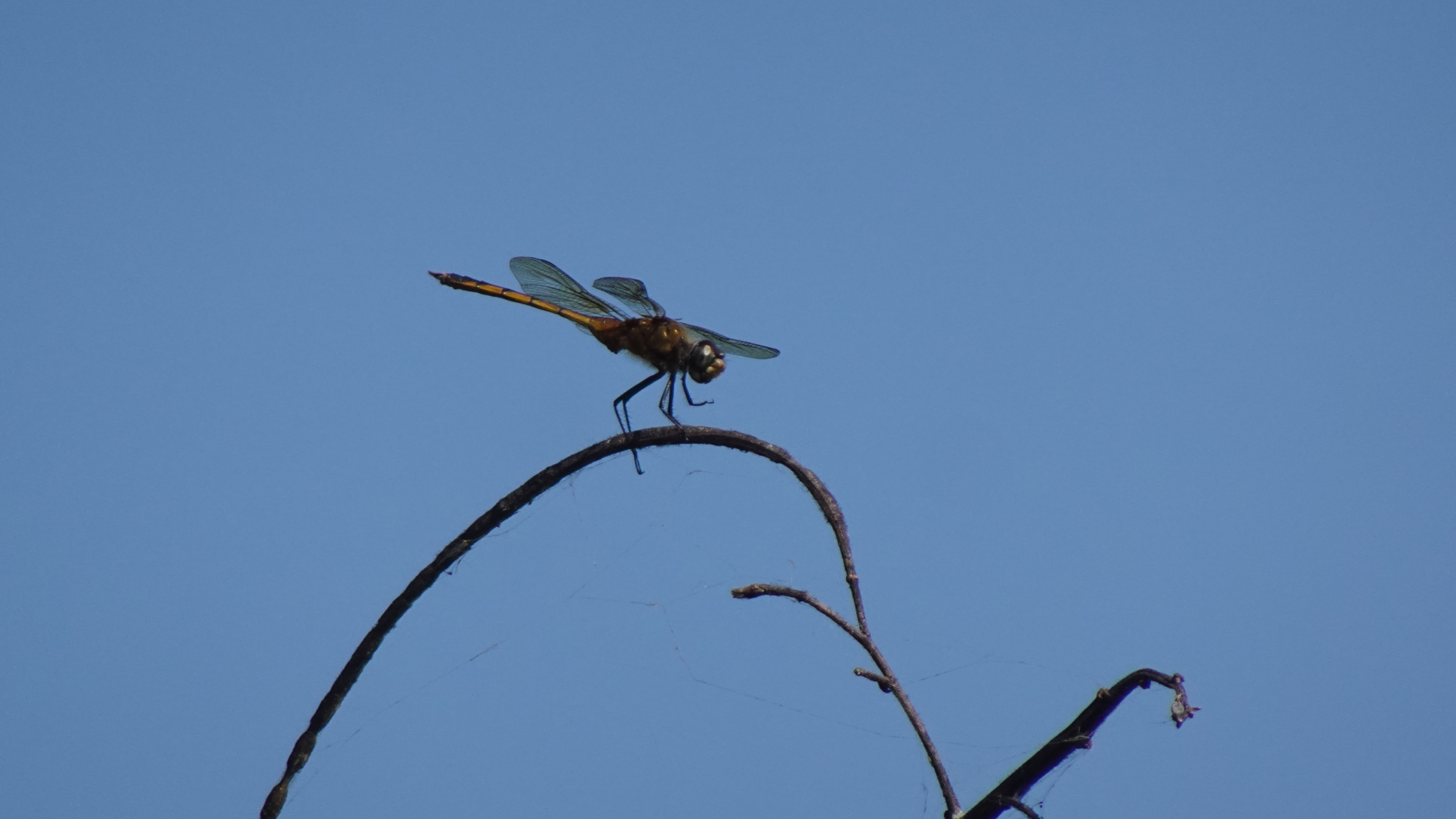
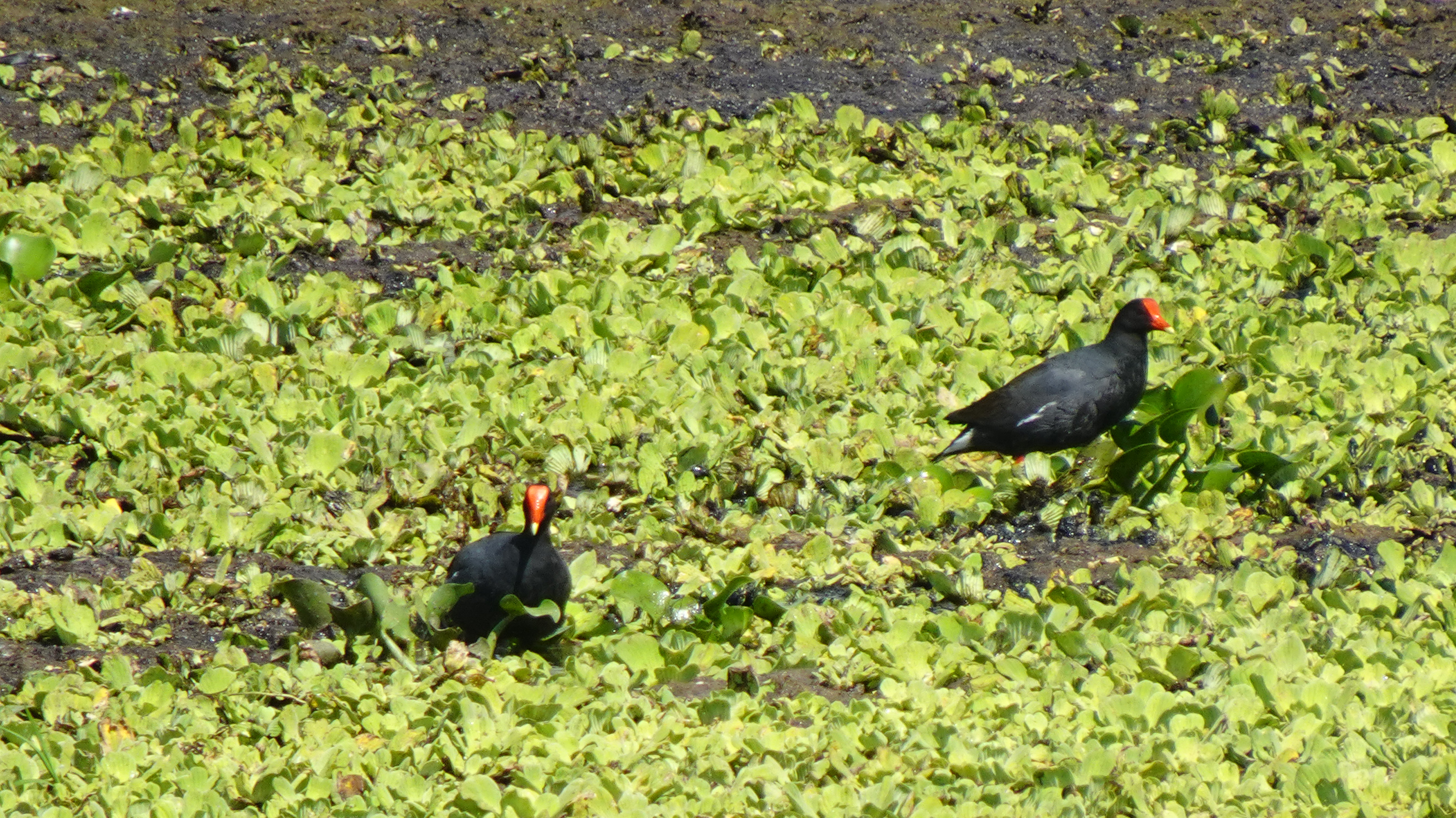
Almost half the birds recorded in Puerto Rico have been observed in the lagoon and its nearby hills. Visitors have a good chance of seeing a Magnificent Frigatebird, several species of herons, smooth-billed ani, the common moorhen, and occasionally the yellow-shouldered blackbird. I even saw white egrets and an osprey.

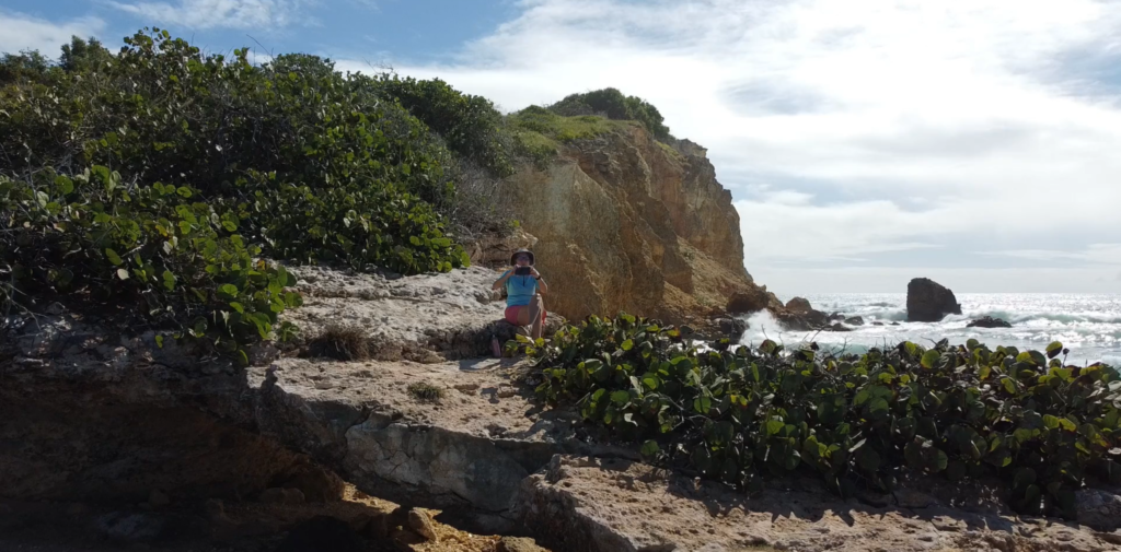
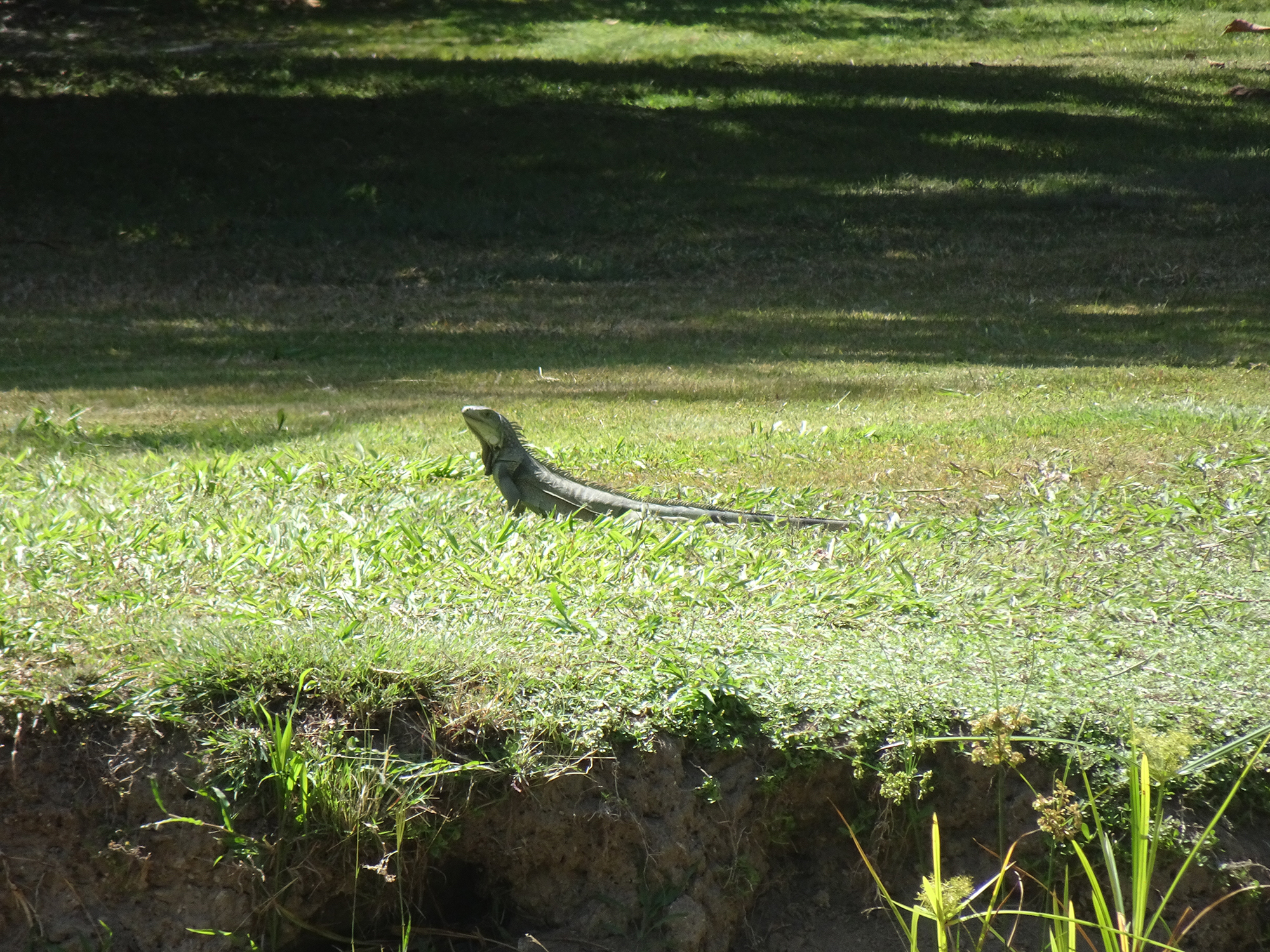
So if you’re anywhere near the southwest coast of the island, you should put on your hiking shoes, grab a pair of binoculars, a bottle of water, and a good camera, and spend a morning watching the avian activity and enjoying the birdsongs.

The trails are closed during nesting season – early March to late August – so time your visit well.
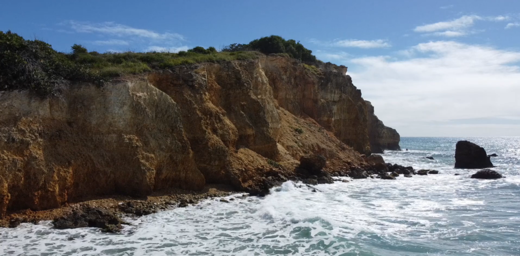
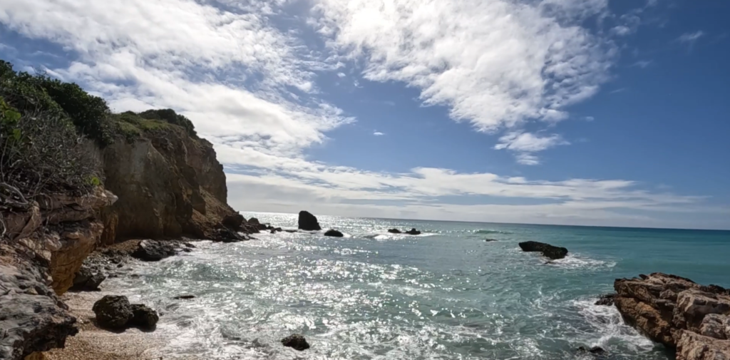
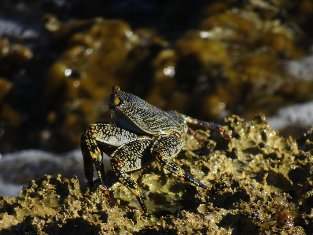
Enjoy Photos!

Info:

Fish & Wildlife
Birdfinding.org (Laguna info)
Birdfinding.org (Caribbean bird index)

MAP

Hiking the Cliffs at Playa Sucia

You feel as though you’ve gone to the end of the earth when you stand atop the stunning cliffs rimming the peninsula beyond pristine Playa Sucia, the beach at the extreme southwest corner of Puerto Rico, and look out across the vast turquoise sea.

Most hikers who come here take the breathtaking 1 ½ mile trail that encircles the iconic lighthouse Los Morrillos. We did it, ourselves, a couple of years ago. (Here’s the video) It was amazing!

But if you sneak off to the very left side of Playa Sucia (also known as Playuela), you’ll find a billy goat trail of about 2 ½ miles that gives you devastating beautiful views of the lighthouse from across the bay, with waves crashing into the cliffs below. You’ll also take in the crescent beach and the vast ocean beyond. The area is called Acantilados de Cabo Rojo, which translates to the Cliffs of Cabo Rojo. If you’re afraid of heights, don’t go too close to the edge! Otherwise, prepare to be blown away, by both wind and natural beauty.

There’s no shade, so wear sunscreen and a sunhat, and bring water to drink. But the most important accessory is your camera! We suggest you drop your beach chairs and swimsuits under a seagrape tree on the beach before hiking so you can cool off afterward with a dip in the warm waves.

PHOTOS

INFO

AllTrails Description

Map

Mini-Tour: Combate Beach Walk

There is so much to do at Combate (pronounced Come-BAH-tay) Beach in Cabo Rojo, Puerto Rico! Beto prefers to relax in his Tommy Bahama beach chair with its cooler and cupholder for his frozen Pitorro rum drink, doom-scrolling on his smartphone or reading a book on military history while watching the pelicans fish in the Caribbean Sea and la Policía zip around in their black speedboat chasing nautical scofflaws.

But Lisa likes to explore, walking down the beach looking for shells and sea glass, or hiking or running in Boquerón State Forest, at the edge of a lagoon that attracts a lot of birds, including unique migratory birds. The hiking/biking trail that meanders through the dry forest by the lagoon stretches 7 miles south to the Salt Flats.

Join her for a walk!

(Watch our original Combate Beach video)

INFO

Combate Beach
Boquerón State Forest Hiking Trail
Map

Is Combate the Most Beautiful Beach in Puerto Rico?

We almost hesitate to share this video because we love El Combate Beach (pronounced Come-BAH-tay) so much. It is one of the most beautiful beaches in Puerto Rico, with golden sand, calm turquoise water that creates perfect swimming conditions, and lots of shade trees. Pelicans dive for fish and rays occasionally jump out of the water. Combate’s location at the edge of Boquerón State Forest means we also get to enjoy a nearby lagoon that attracts a lot of birds, including unique migratory birds. The hiking/biking trail that meanders through the dry forest by the lagoon stretches 7 miles south to the Salt Flats.

The nearby village of Combate has our favorite waterfront restaurant, Annie’s, where you can sip a drink, nibble queso frito or red snapper, and enjoy the best sunsets in Puerto Rico.  It’s very quiet on weekdays but can become quite lively on weekends. But the faryher away from town you walk, the quieter it gets.

The biggest drawback to Combate is parking, or the lack thereof. There’s no lot and a long woodland path to get there. ! (We usually park on the street near Combate Beach Resort, and then walk in via the woodland path along the lagoon.) But it’s worth the effort!  

There are also no facilities, either bathroom or changing, so you might pay Annie’s a visit just to use the restroom. There are other places in Combate to get pina coladas as well.

Info
Map 

Kayaking in the Humacao Nature Reserve

Turtles and ducks and iguanas, oh my!

The Humacao Nature Reserve offers a wonderful kayaking experience, through a creek dodging turtles among the mangroves into a large lagoon. Breathtaking! The lake of course boasts a couple of Puerto Rican flags, since residents’ pride in their island is displayed everywhere you go. Our adventure also offered the chance to see a large variety of birds, turtles, and even a couple of huge iguanas.

The tour guides give you a laminated map so you can follow a specific marked route and learn about the flora and fauna of the region.

Humacao Nature Reserve, also called the Punta Santiago Nature Reserve, is located in the southeastern coast of Puerto Rico, between the municipalities of Humacao and Naguabo. In addition to kayaking, which only cost $15, the reserve has trails for walking, hiking and mountain biking. The birdwatching is spectacular, and you can also go fishing. There are large, clean bathrooms and even showers.

Links

Info: https://www.discoverpuertorico.com/profile/punta-santiago-reserva-natural-de-humacao/7844

Map: https://goo.gl/maps/xyCoWpT1z1mtdoZM8

The Pterocarpus Forest: A Nature Enclave Within a Sprawling Resort

Who would expect to find a beautifully preserved nature preserve in the middle of the largest resort development in Puerto Rico? But that’s what we discovered when we entered the Pterocarpus Forest.

The Pterocarpus Forest nature preserve at Palmas del Mar is a 51-acre swamp forest, one of the largest remaining swamp forests in Puerto Rico. It serves as a habitat for 44 species of flora and 52 species of fauna, and this is a relief to see when elsewhere in Palmas del Mar, trees are being razed to create the latest luxury developments.

This wetland forest is named after the Pterocarpus Officinalis tree (“Dragonsblood Tree”), which has awesome roots that spread out majestically. It can grow more than 65 feet tall.

There’s also a lookout tower and a pond, which provide lively bird, turtle and iguana-watching.

Although Palmas is a private development, the Pterocarpus Forest is open to the public. Just tell the guard at the gate that’s where you are going. They have even been known to give out forest maps. There’s also an app that offers a walking tour of the forest.

Links

Info
Map

Hiking the Guajataca Tunnel: Butterfly Meadows, Crashed Boats and Ocean Cliffs

Amazingly, the actual Guajataca Tunnel (pronounced gwa-hah-TAH-kah) was the least interesting part of this hike. And the tunnel was fantastic! But, as always happens when you’re as open to new discoveries, we found so much more.

We hiked through the tunnel and westward along rocky cliffs, with dazzling turquoise sea to our right.

We forked left and crossed a butterfly meadow, filled with plants that attract and feed those lovely insects, such as calotropis procera, and oplonia spinosa, almendro (terminalia catappa), jayajbico (erithalis fruticose). Here are the ones we saw, plus a caterpillar of unknown type.

We later learned it was in fact a frangipani worm and not a caterpillar at all. They can grow up to 6 inches long, travel in hordes, do an incredible amount of damage, and eventually turn into big brown moths.

Puerto Rico does have its own species of monarch butterfly called the macho monarca, which doesn’t migrate. Unfortunately, it doesn’t pose for pictures, either! But here’s one from USDA.

The macho monarca can also be found in the Virgin Islands, Cuba, the Cayman Islands, St. Lucia and Jamaica.  

We found a posterboard about this butterfly and its diet when we exited the tunnel back into the park.

Hiking back along the ocean, powerful waves exploded against jagged boulders rising up from the shallow sea. We passed several remnants of wooden boats that we speculated might have carried aspiring migrants across the ocean from Haiti.

We also found wooden steps, yawning caves, a few creatures, and even a lone dead crab, perfectly preserved on the sand.

The tunnel itself, which connects the towns of Quebradillas and Isabela, is a remnant of the sugar cane era, when trains were used to transport sugar cane from the farms in the area.

Local artists have given walls some color with murals, and we found local artisans and food vendors.

The white-sand Playa Guajataca beside it, protected by a glorious grove of palm trees, stretched east to a campground and river. Settle into your beach chairs and you will enjoy a lot of shade and gorgeous cliff views. 

Take this hike!

Links

Guajataca Tunnel

Google Map

We Went Too Far! Lost in the Cueva del Viento

Our exciting hike into the Cueva del Viento (Cave of the Wind) took a potentially disastrous turn when we ventured too far into the pitch-black cave and couldn’t find our way out.

We found ourselves grappling with very dark thoughts as we walked in endless circles, listening to bats screech overhead and willing our flashlights not to stop working, while we looked for anything familiar to help us escape the cave.

The Cueva del Viento is found at the end of a popular trail in Guajataca State Forest on the northeastern town of Isabela, Puerto Rico. If you go, make sure you take a good flashlight, tell someone where you are going, and don’t go in too deep.

We thought the rickety stairs down into the cave were the dangerous part.

We were wrong. Watch the video to learn more!

Hiking Laguna Guaniquilla

We came to see the rocks in Laguna Guaniquilla, not far from Buye Beach.

But we found so much more in Punta Guaniquilla, an amazing nature preserves full of natural wonders!

We encountered distant vistas.

Unexplained ruins.

Mangroves seen from a different angle.

Spectacular Caribbean views.

Salt flats that hosted 10,000 skittering crabs.

Jagged boulders rising from the water of Laguna Guaniquilla.

Hidden caves with signs warning of potential seismic activity.

More hidden caves.

Sleeping frogs.

Interesting plants.

Termite nests, some fallen on the ground.

You reach this hike by heading south on foot from the local favorite Buye Beach, down a puddle-mucked, narrow road through a neighborhood of ramshackle cottages that face the Caribbean Sea. Bring lots of water, and definitely bring a camera!

Learn more from Para La Naturaleza

Guanica Dry Forest: Cacti, Cliffs and Red-Billed Oystercatchers

Who would expect to see so many kinds of cacti on a tropical island? We were intrigued to view the turquoise waters of the Caribbean Sea from a desert trail in Guánica State Forest, on the southwest end of Puerto Rico.

A United Nations International Biosphere Reserve, the Guánica State Forest, also known as Guánica dry Fores , is one of the most extensive tropical dry coastal forests in the world, totaling around 9,000 acres. It’s a paradise for birdwatchers, and we saw many. Read all about it.

Enjoy Bob’s video of our 3.7-mile hike along the rocky coast and through the desert.

Our day spent hiking and beaching also presented us with captivating flora and fauna! Lisa took a few pictures of her favorites, especially the red-billed oystercatchers. She guessed the name after watching them in action!

Social media & sharing icons powered by UltimatelySocial
Facebook
Instagram
YouTube
Twitter
Pinterest