Hiking the Cliffs at Playa Sucia

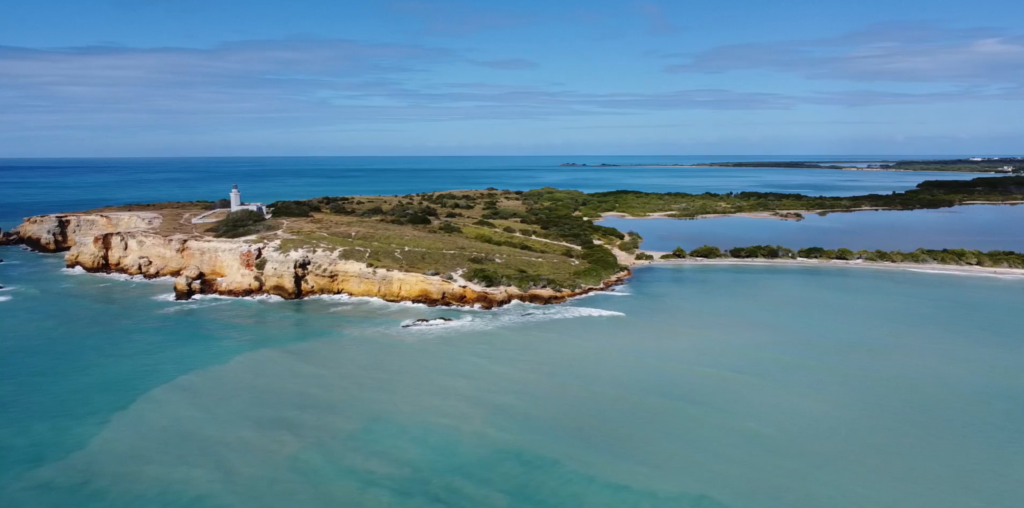
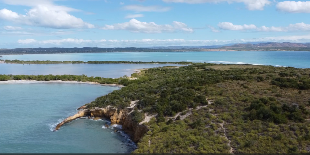
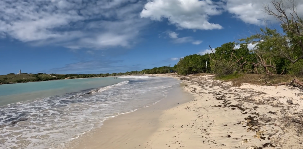
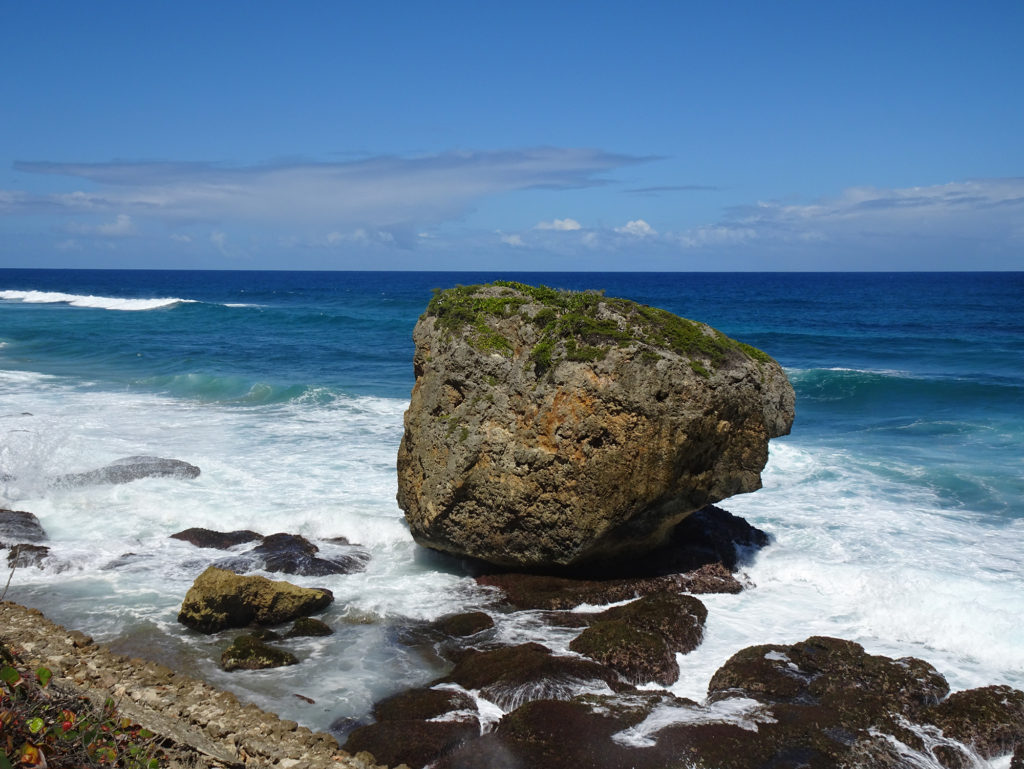
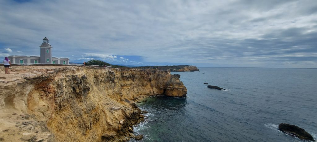
You feel as though you’ve gone to the end of the earth when you stand atop the stunning cliffs rimming the peninsula beyond pristine Playa Sucia, the beach at the extreme southwest corner of Puerto Rico, and look out across the vast turquoise sea.

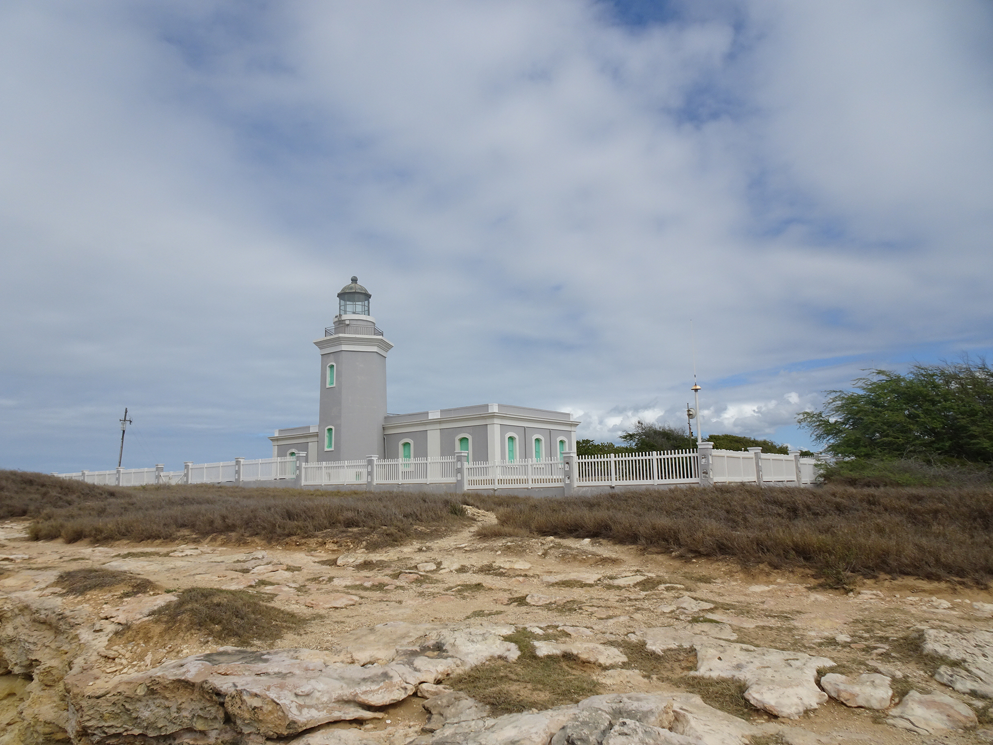
Most hikers who come here take the breathtaking 1 ½ mile trail that encircles the iconic lighthouse Los Morrillos. We did it, ourselves, a couple of years ago. (Here’s the video) It was amazing!

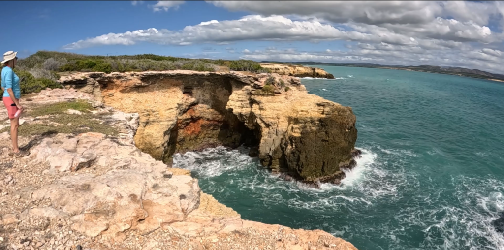
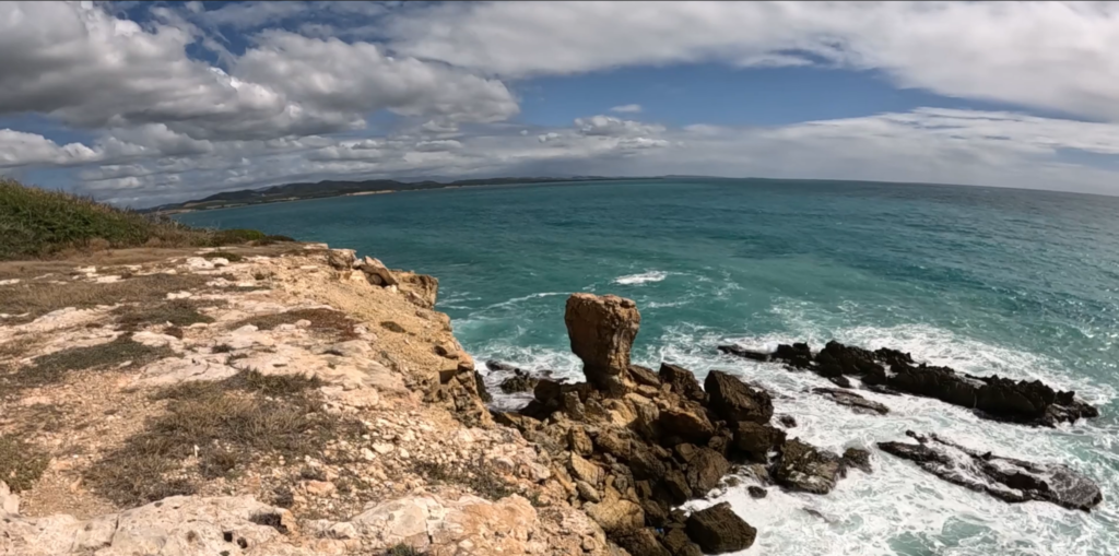
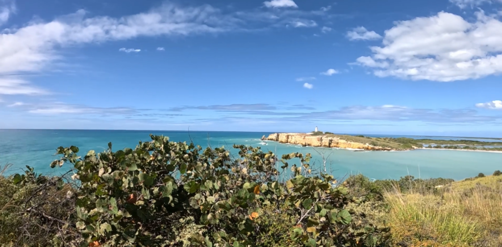
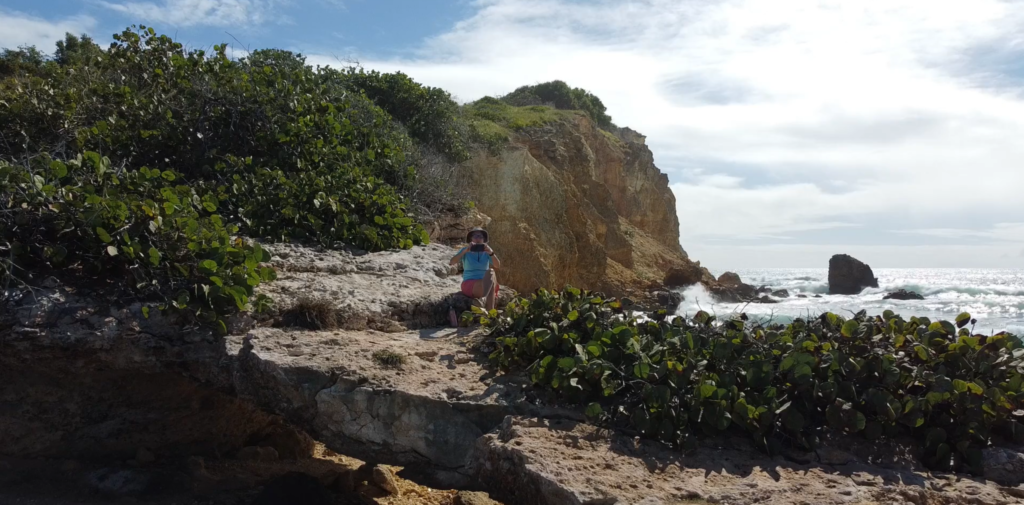
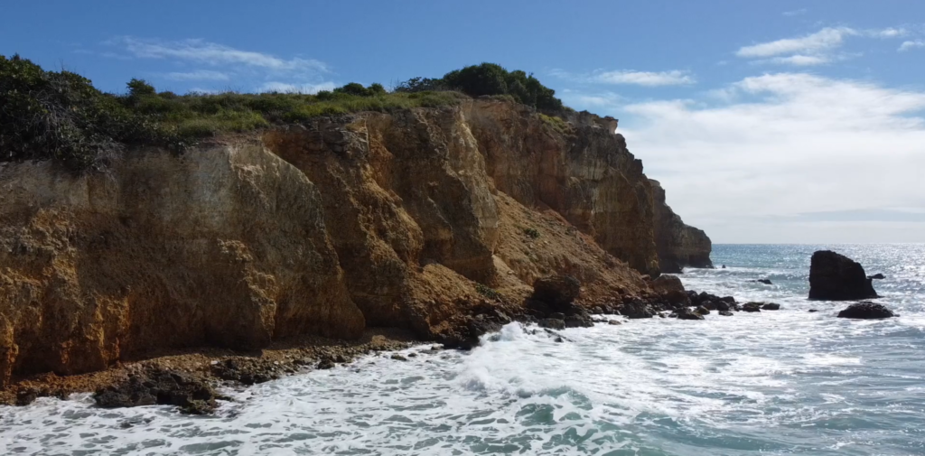
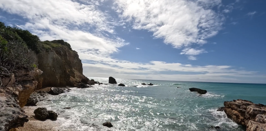
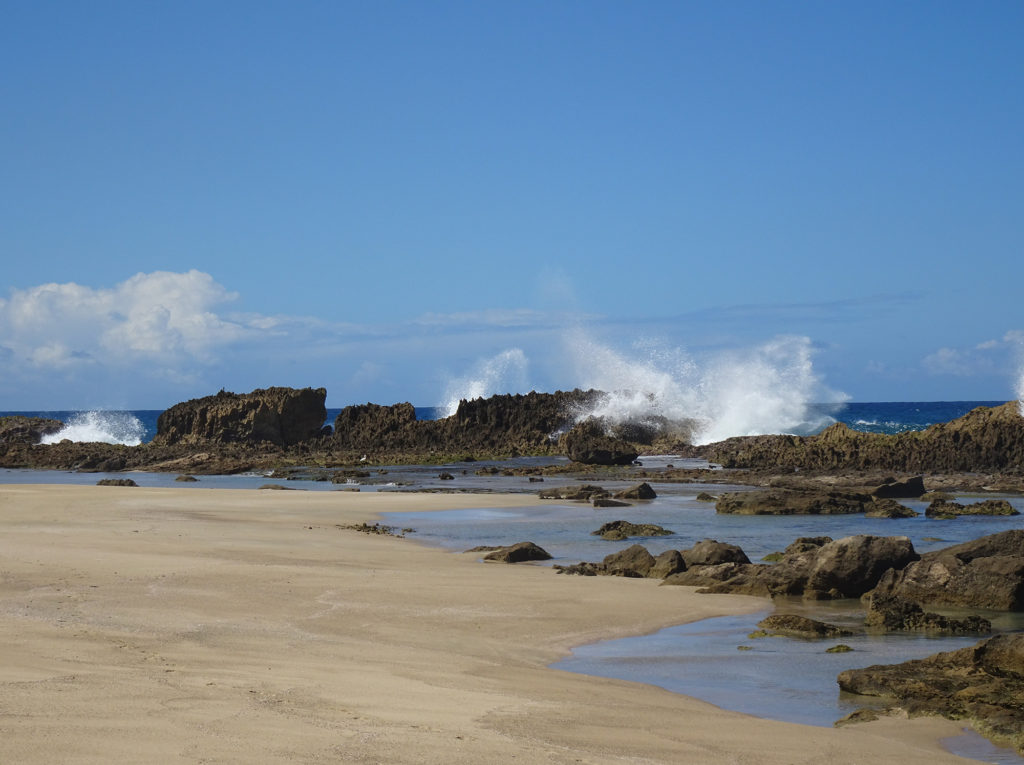
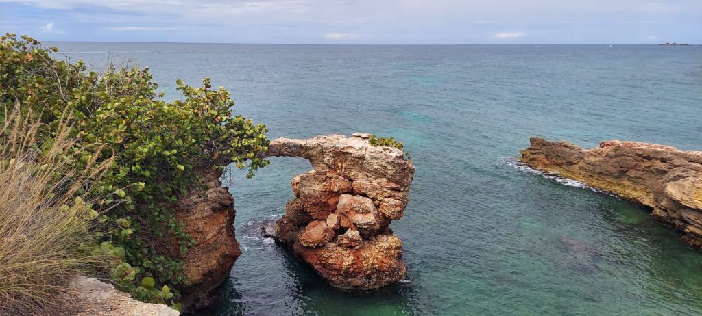
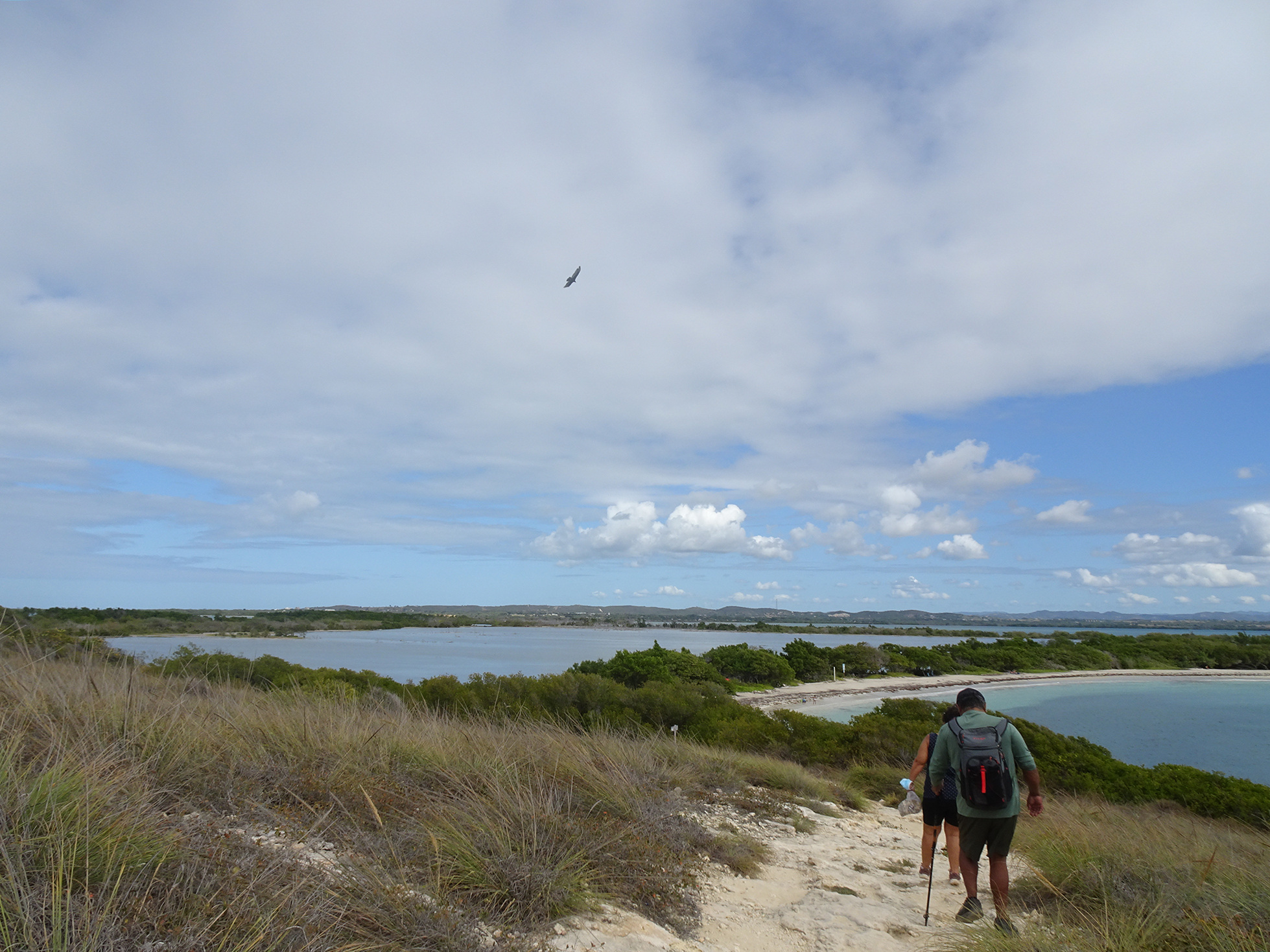
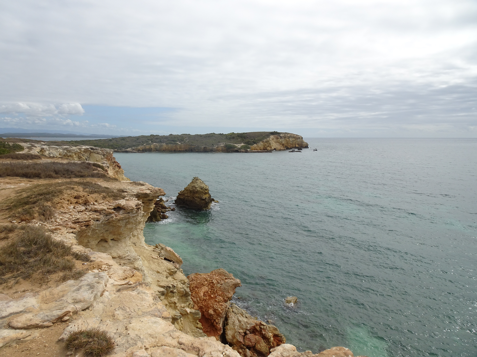
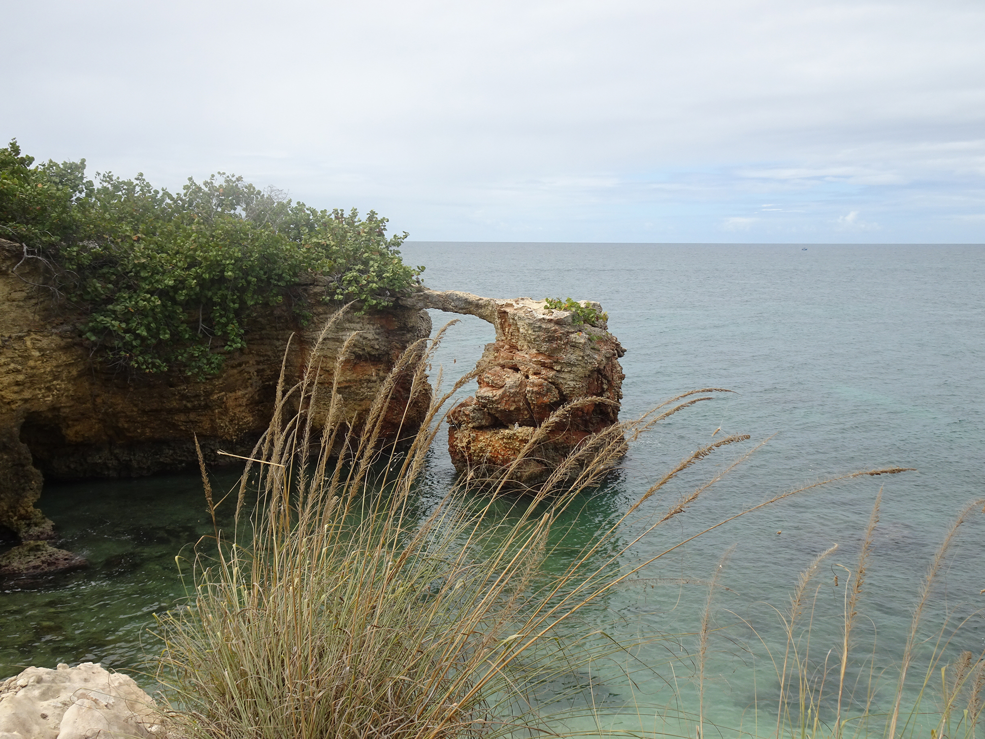
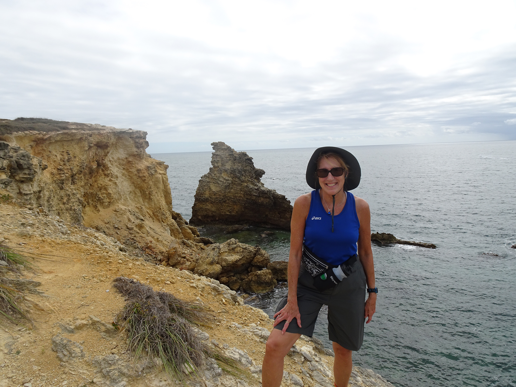
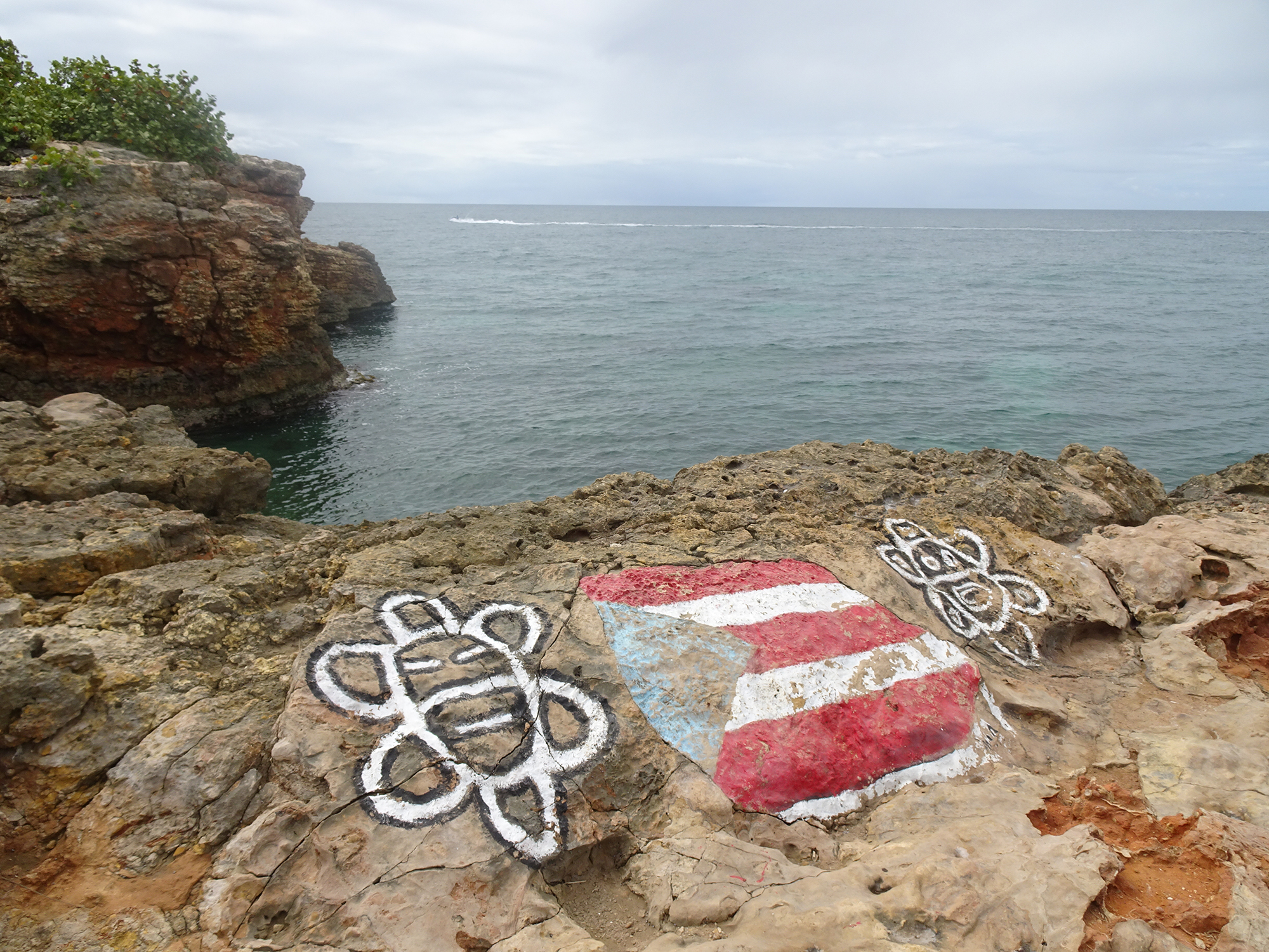
But if you sneak off to the very left side of Playa Sucia (also known as Playuela), you’ll find a billy goat trail of about 2 ½ miles that gives you devastating beautiful views of the lighthouse from across the bay, with waves crashing into the cliffs below. You’ll also take in the crescent beach and the vast ocean beyond. The area is called Acantilados de Cabo Rojo, which translates to the Cliffs of Cabo Rojo. If you’re afraid of heights, don’t go too close to the edge! Otherwise, prepare to be blown away, by both wind and natural beauty.

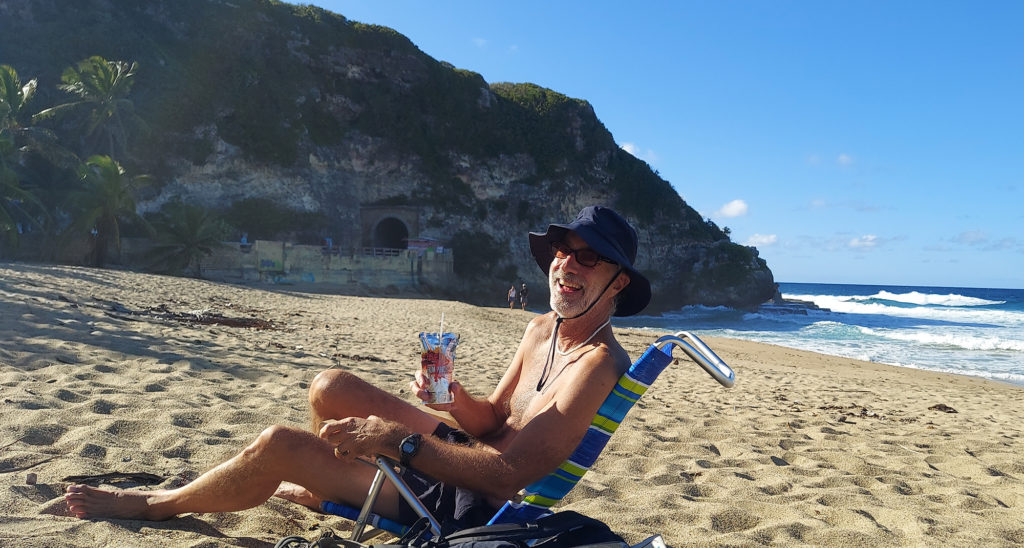
There’s no shade, so wear sunscreen and a sunhat, and bring water to drink. But the most important accessory is your camera! We suggest you drop your beach chairs and swimsuits under a seagrape tree on the beach before hiking so you can cool off afterward with a dip in the warm waves.
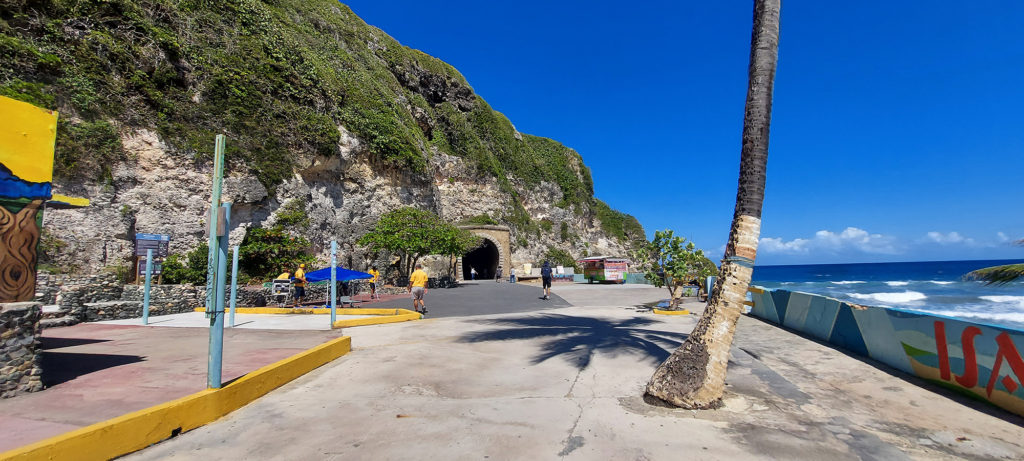
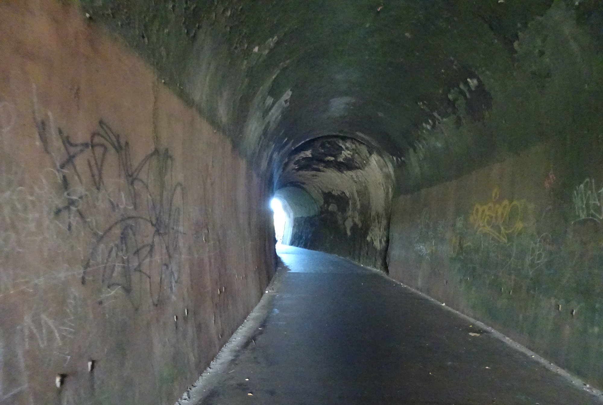
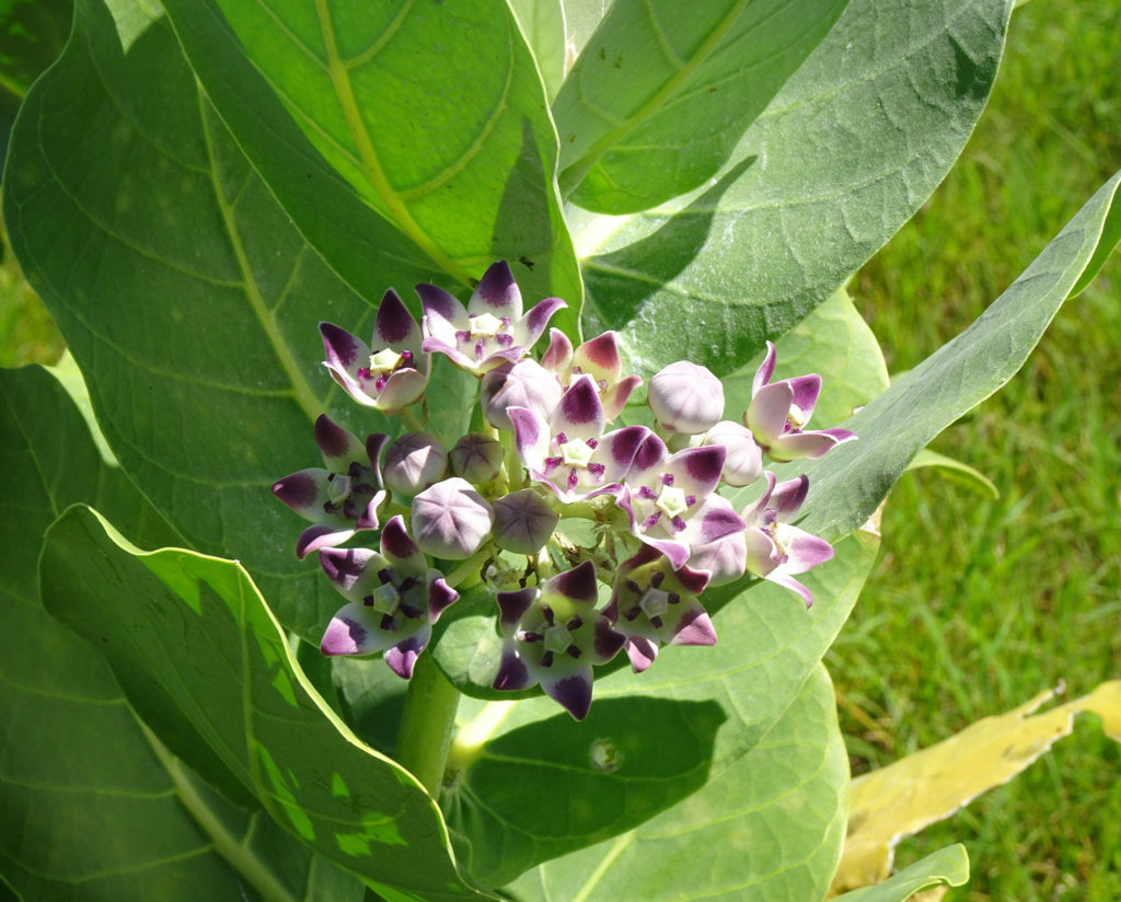
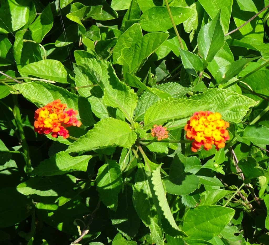
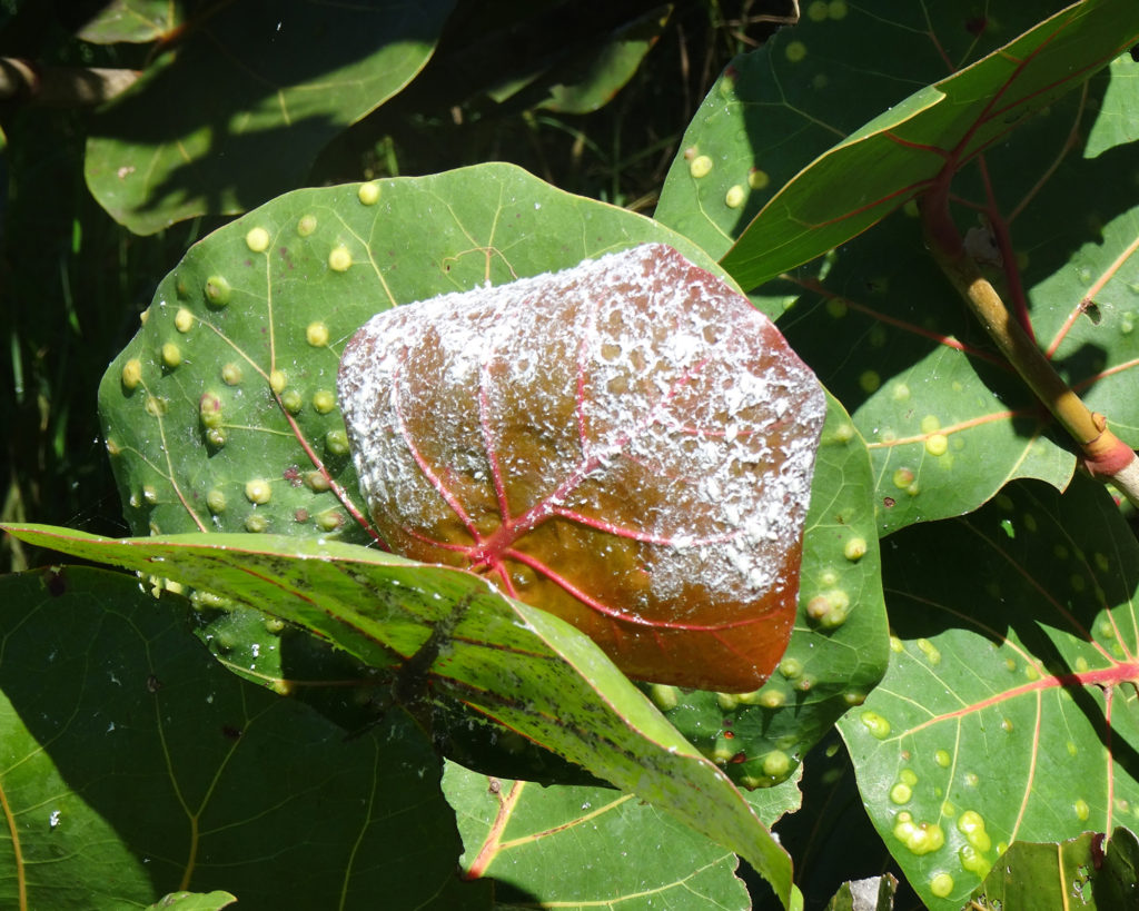
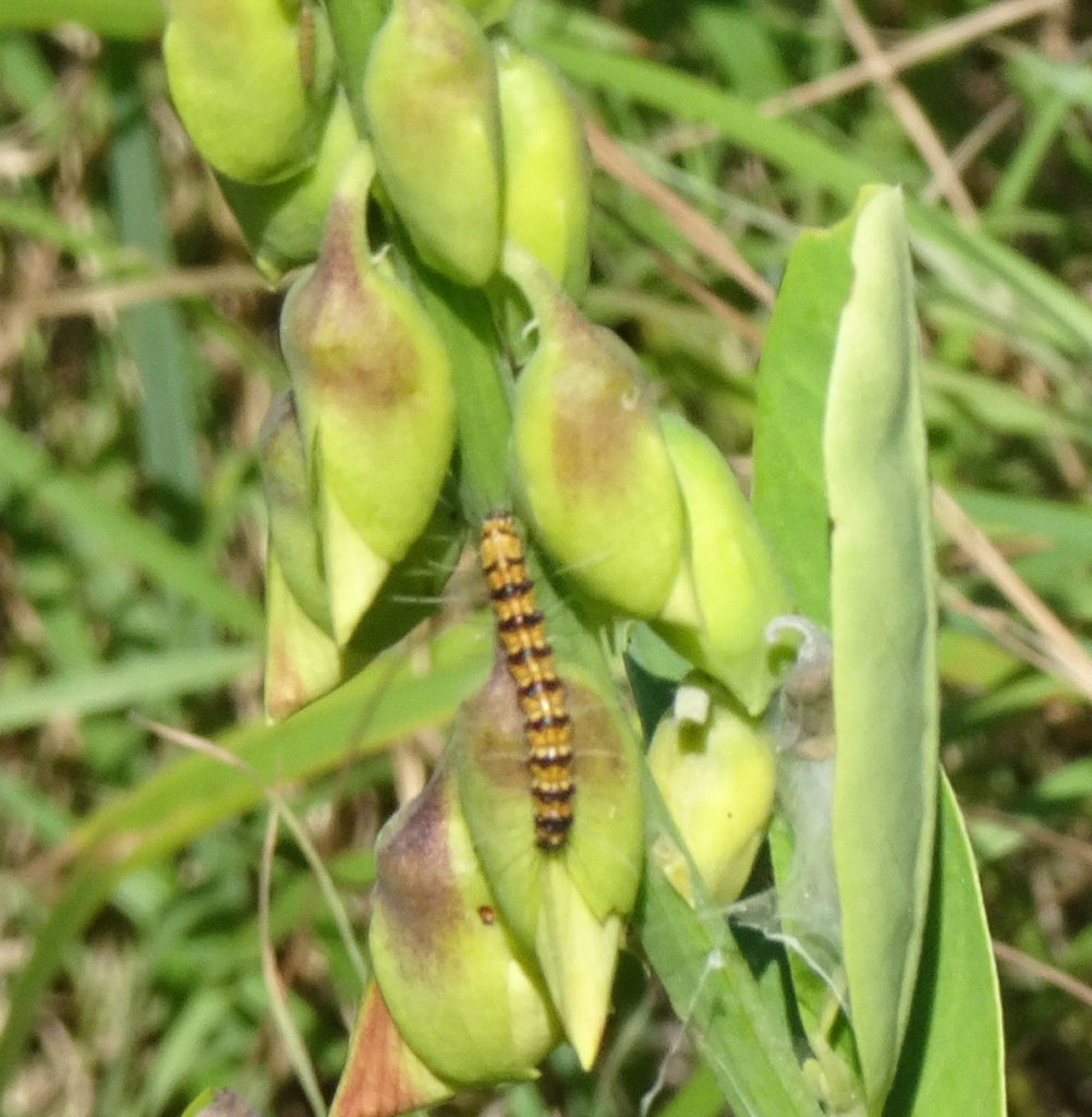
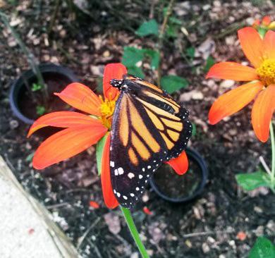
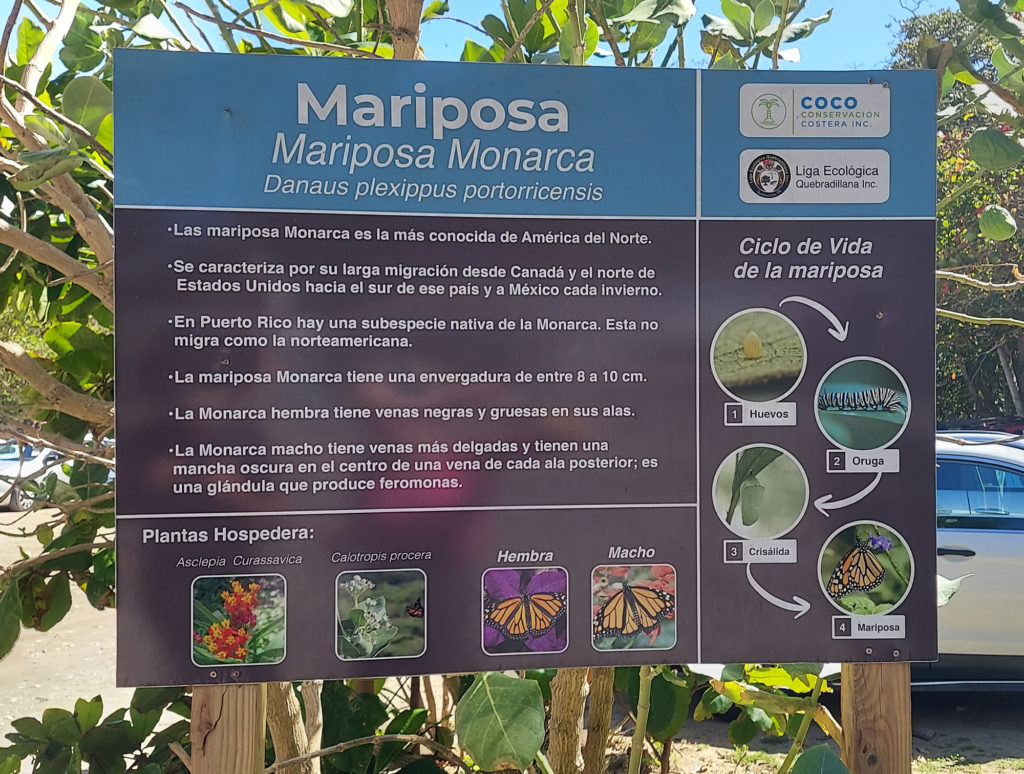
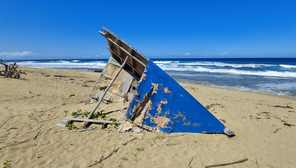
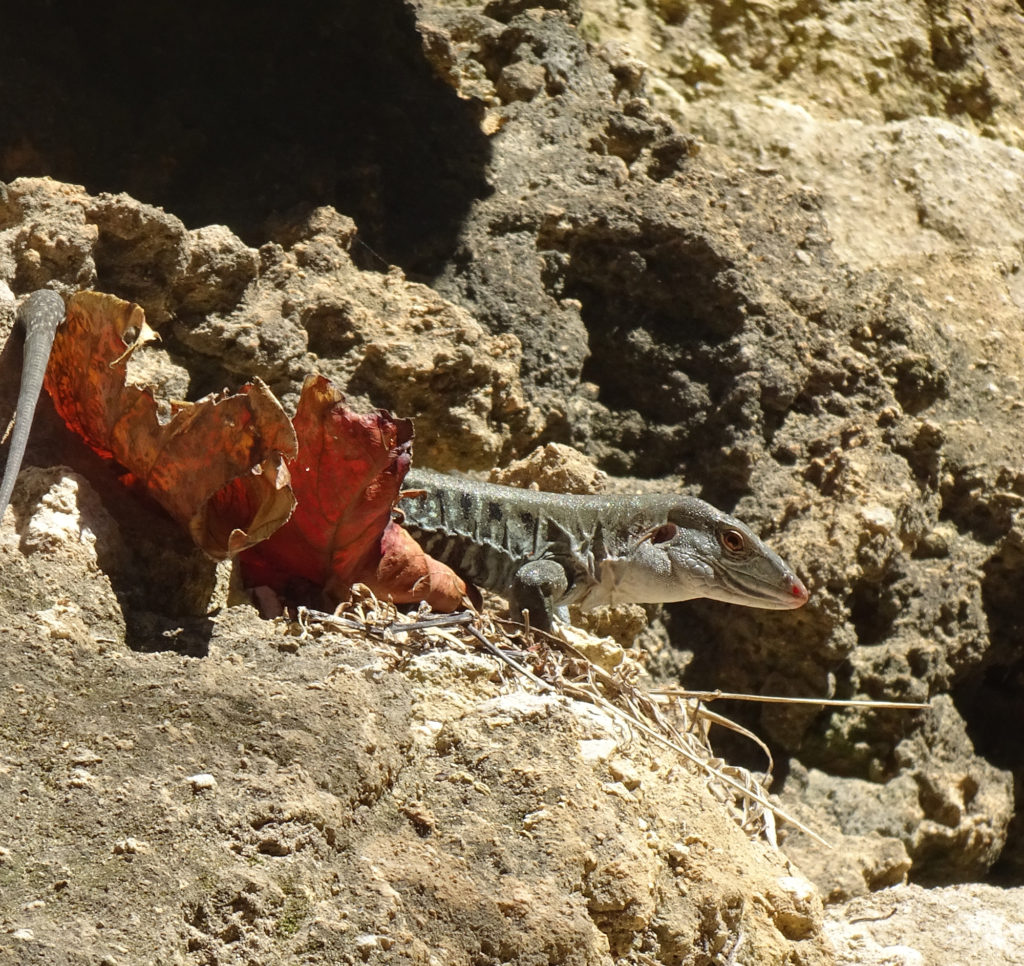
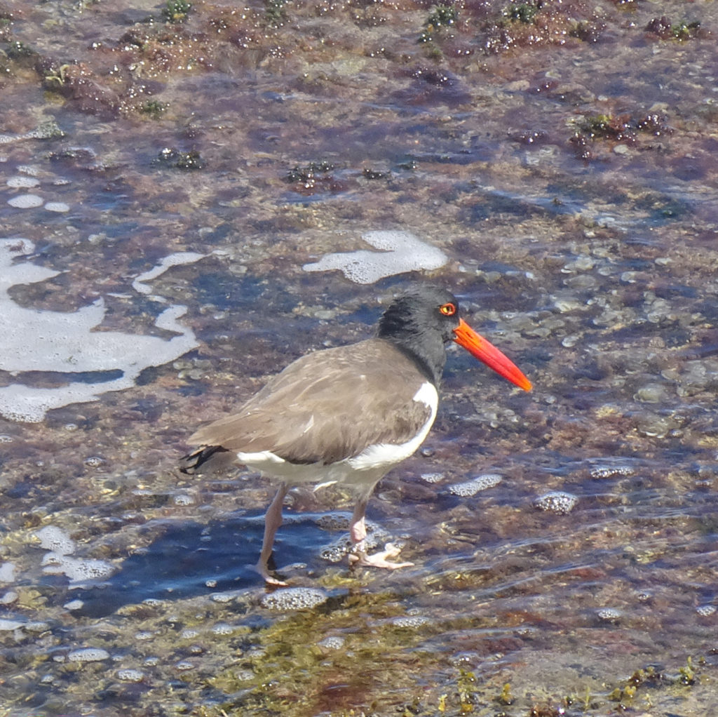
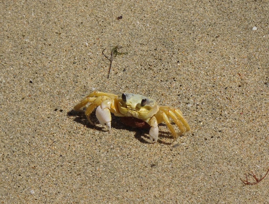
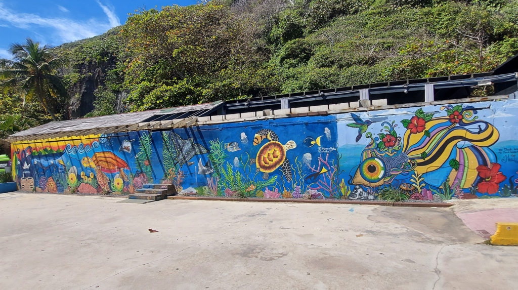
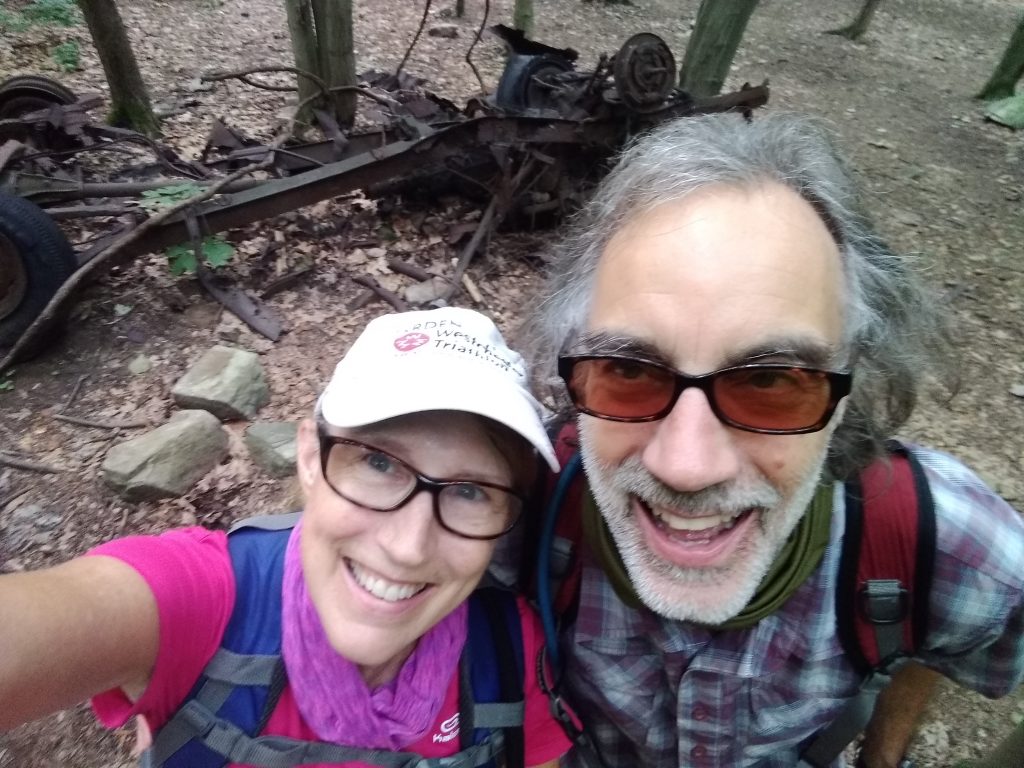
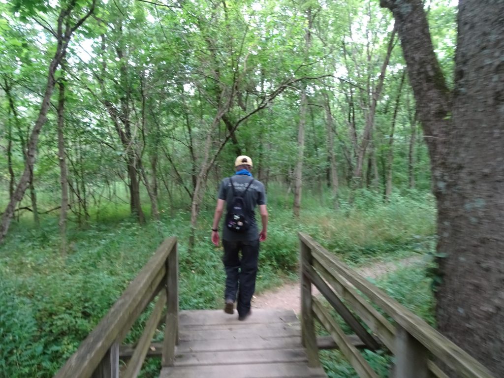
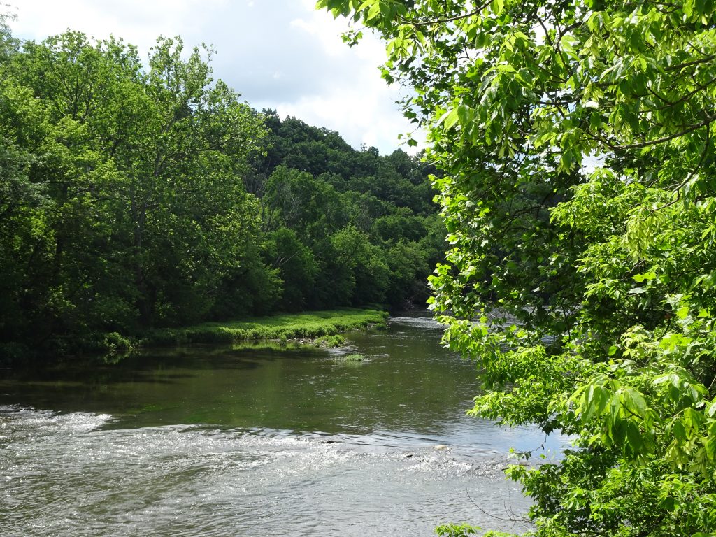
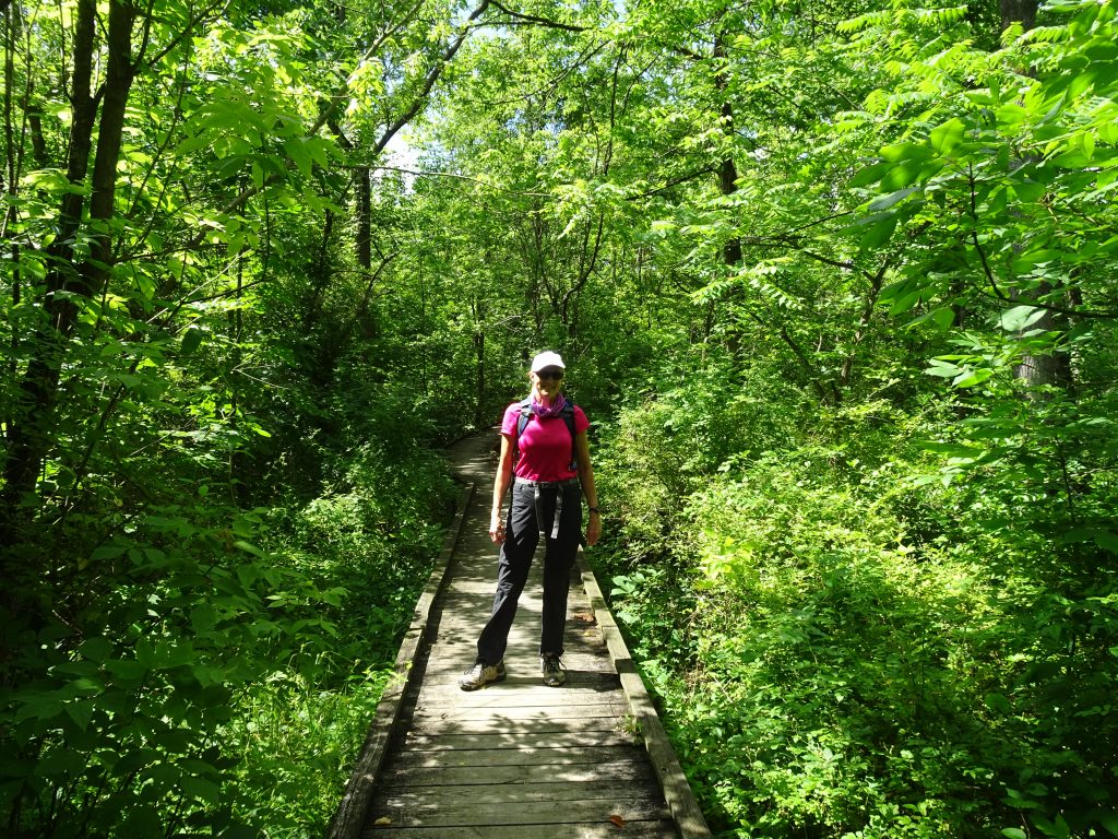
PHOTOS

INFO

AllTrails Description

Map

Hiking the Guajataca Tunnel: Butterfly Meadows, Crashed Boats and Ocean Cliffs

Amazingly, the actual Guajataca Tunnel (pronounced gwa-hah-TAH-kah) was the least interesting part of this hike. And the tunnel was fantastic! But, as always happens when you’re as open to new discoveries, we found so much more.

We hiked through the tunnel and westward along rocky cliffs, with dazzling turquoise sea to our right.

We forked left and crossed a butterfly meadow, filled with plants that attract and feed those lovely insects, such as calotropis procera, and oplonia spinosa, almendro (terminalia catappa), jayajbico (erithalis fruticose). Here are the ones we saw, plus a caterpillar of unknown type.

We later learned it was in fact a frangipani worm and not a caterpillar at all. They can grow up to 6 inches long, travel in hordes, do an incredible amount of damage, and eventually turn into big brown moths.

Puerto Rico does have its own species of monarch butterfly called the macho monarca, which doesn’t migrate. Unfortunately, it doesn’t pose for pictures, either! But here’s one from USDA.

The macho monarca can also be found in the Virgin Islands, Cuba, the Cayman Islands, St. Lucia and Jamaica.  

We found a posterboard about this butterfly and its diet when we exited the tunnel back into the park.

Hiking back along the ocean, powerful waves exploded against jagged boulders rising up from the shallow sea. We passed several remnants of wooden boats that we speculated might have carried aspiring migrants across the ocean from Haiti.

We also found wooden steps, yawning caves, a few creatures, and even a lone dead crab, perfectly preserved on the sand.

The tunnel itself, which connects the towns of Quebradillas and Isabela, is a remnant of the sugar cane era, when trains were used to transport sugar cane from the farms in the area.

Local artists have given walls some color with murals, and we found local artisans and food vendors.

The white-sand Playa Guajataca beside it, protected by a glorious grove of palm trees, stretched east to a campground and river. Settle into your beach chairs and you will enjoy a lot of shade and gorgeous cliff views. 

Take this hike!

Links

Guajataca Tunnel

Google Map

We Went Too Far! Lost in the Cueva del Viento

Our exciting hike into the Cueva del Viento (Cave of the Wind) took a potentially disastrous turn when we ventured too far into the pitch-black cave and couldn’t find our way out.

We found ourselves grappling with very dark thoughts as we walked in endless circles, listening to bats screech overhead and willing our flashlights not to stop working, while we looked for anything familiar to help us escape the cave.

The Cueva del Viento is found at the end of a popular trail in Guajataca State Forest on the northeastern town of Isabela, Puerto Rico. If you go, make sure you take a good flashlight, tell someone where you are going, and don’t go in too deep.

We thought the rickety stairs down into the cave were the dangerous part.

We were wrong. Watch the video to learn more!

Cabo Rojo Lighthouse Hike

A hike in the nature reserve around the Cabo Rojo Lighthouse (Los Morrillos) served us up spectacular vistas, with stomach-dropping white and red cliffs, fascinating rock formations, crystal-clear Caribbean Sea, and even cacti!

We found the loop trail, part of the Cabo Rojo National Wildlife Refuge, on the All Trails app. It took us around the rocky coastline of this peninsula, then past the salt flats, before dumping us out on Playa Sucia, or La Playela, a gorgeous beach.

It’s located on the southeastern point of Cabo Rojo, on the Morrillos Peninsula, in the southwest corner of Puerto Rico. Learn all about this destination at the Discover Puerto Rico website.

Make sure you come between 9 AM and 5 PM, because the park rangers lock the gate!

Check out Bob’s YouTube video!

Easy Hikes to the Top of the World

Vermont has an endless bounty of hikes, from the challenging Appalachian/Long Trail that traverses the entire state, to short hikes with big rewards. All of them are steep, because these are the Green Mountains, after all!

Here a couple we enjoy that can be done with the kids, or with people in your party who aren’t used to long hikes. Both will reward you with outstanding views for not too much effort. Don’t forget to pack your binoculars or a camera!

Hike to the Top of Okemo

There’s a short hike to the top of the Okemo Mountain Road that gives you an awesome vantage point with less than a mile of hiking. You can hike through dense, magical woods up a steep, rocky trail, or you can hike up a relatively easy road. At the top you have a mountain-top view from the Okemo Peak that lets you gaze down upon the Village of Ludlow, Lake Rescue, and mountains all the way to New Hampshire. You’ll see the ski lift and can climb to the top of the Fire Tower (if you’re not afraid of heights). It’s less than a mile round trip. There are some pull-offs with scenic views on the way down. Learn more.

Directions to the Trailhead:

Turn left on Route 100, then left at the end. Make a right onto Okemo Mtn Rd. Drive up to the Okemo Lodge, continuing up the private road to its left (OPEN from late spring to late fall). This road will switchback straight up the mountain for about 4-5 miles until you reach the top. You’ll be able to park at the end and either walk on the road or go up the trail to the left.

Echo Lake Vista Trail

Children as young as five can successfully navigate the hike up the Echo Lake Vista Trail. It’s steep but not brutal, and the views of Echo Lake, okemo Mountain, and the whole area from the top are breathtaking. there’s a nice rock there where you can relax and enjoy a snack. It’s only 1.5 miles round-trip. Learn more.

Directions:

The trail is located at Camp Plymouth State Park Distance. Go north on Route 100 (turn right from Benson Point), North, then turn right onto Kingdom Road at the Echo Lake Inn, follow 1 mile to Boy Scout Camp Road, and turn left to Camp Plymouth State Park. Park for free in a parking lot on the right before the road crosses the creek. The trailhead is past the cabins on the right, or you can go farther on the road and access the trail by old wooden steps that take you through an ancient cemetery.

Hiking the Appalachian Trail

OK, so we can’t go to movies. We can’t go to restaurants. We can’t explore new cities, make new friends, photograph churches, practice Spanish, soak up the culture. But we can get outside and explore nature!

So while we have been living in Grandma’s condo in Mechanicsburg, PA, this Spring and summer, we at Messy Suitcase have been spending a lot of time on foot exploring the Appalachian Trail here. You can access an interactive map to get info about the trail in your region, if you live in the northeast United States.

Here are a few facts about the AT:

Total Length: 2,190 Miles

Number of States the ATTraverses: 14

Approximate Gain/Loss in Elevation: 464,500 Feet

Visitors Each Year: 3 Million

Here in Cumberland County, the trail has its lowest, flattest stretches, but there are still some hills to climb. Much of it runs along the Conodoguinet Creek.

How to Hike Safely in the Age of COVID-19

We have several rules we follow when hiking. We wear lightweight gators around our necks to pull up for use as masks should we pass anyone. We start early (to avoid heat) or hike during off-peak times because NO ONE else bothers to mask. We move well off the trail to let people pass. We wear long pants because of ticks. We are gluttons when we pass wild black raspberry or wild raspberry patches.

Social media & sharing icons powered by UltimatelySocial
Facebook
Instagram
YouTube
Twitter
Pinterest