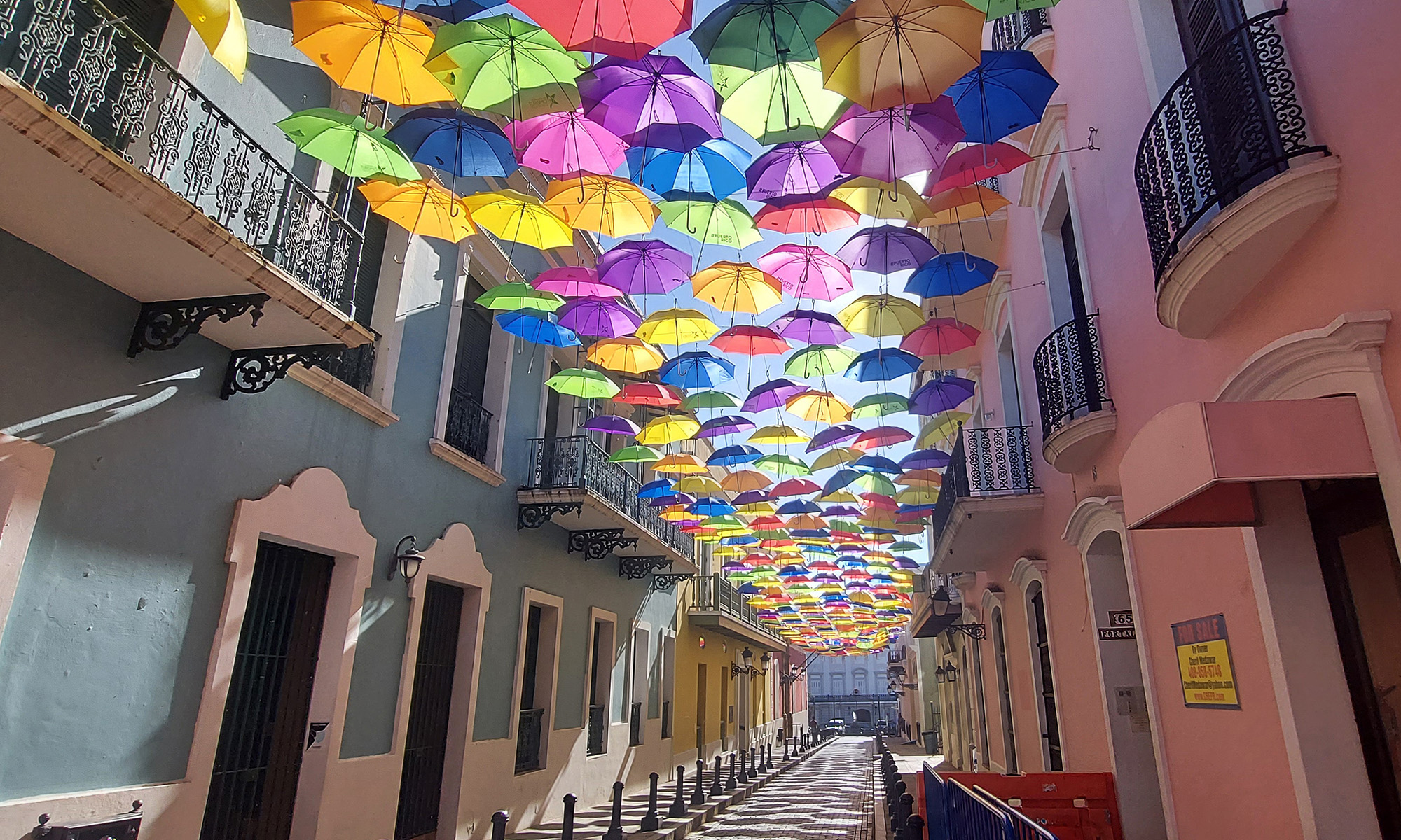
Did you know the Appalachian Trail was inspired by Vermont’s Long Trail? Beto and I discovered this after a couple of recent hikes on the Long Trail, the oldest long-distance hiking trail in the United States. Known as Vermont’s “footpath in the wilderness,” the 272-mile Long Trail runs from Massachusetts to Canada, with 166 more miles of side trails.
Built by the Green Mountain Club between 1910 and 1930, it follows the main ridge of the Green Mountains and crosses Vermont’s highest peaks. The Appalachian Trail coincides with the Long Trail for 100 miles in the southern third of Vermont, including around Ludlow, where we are staying. It is not for the faint. Crossing high peaks means a lot of up and down. And we have discovered it can be tricky.
Long Trail Hike 1
Last weekend we drove north to Killington and got onto the trail across the street from the appropriately named Inn at Long Trail. We hiked three hilly, strenuous miles through amazingly lush, green woodlands – especially coming from dry, high desert ecosystems in the mountains of Colorado and Mexico! As it was our first hike since arriving in Vermont, we turned around after a mile and a half, just .6 miles from the peak of Pico Mountain, which we will attempt to scale another time.
Long Trail Hike 2
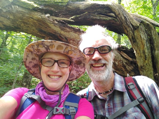
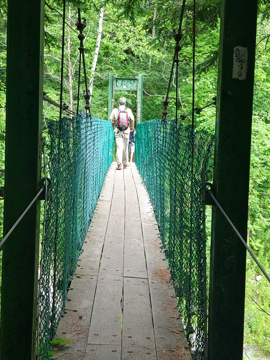
This morning we embarked on the combined AT/LT along Route 103 between Mount Holly and Clarendon. At the beginning, we had to cross a beautiful, shaky suspension bridge over a glorious gorge, and I remembered bringing my kids here for a walk about 15 years ago, and they were terrified.
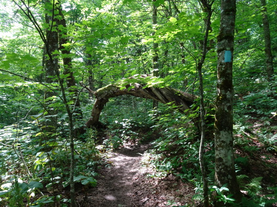
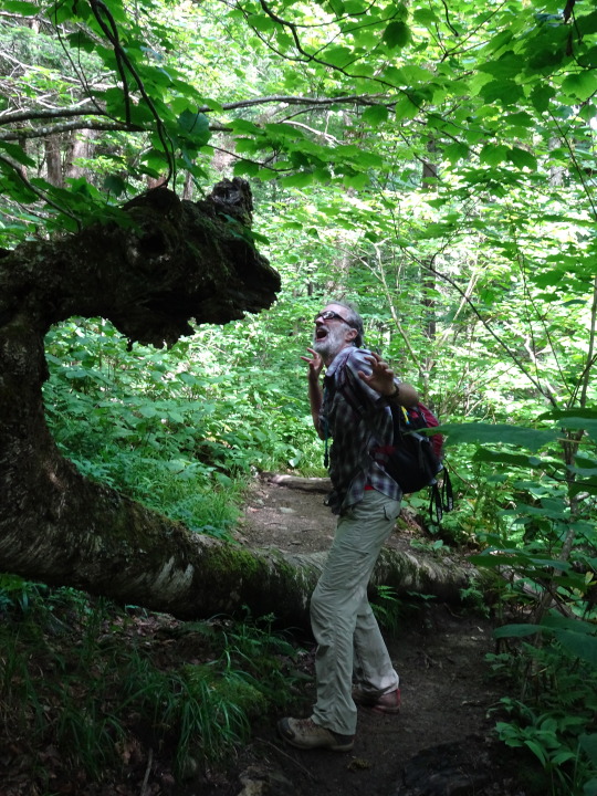
The Long Trail is marked by two-by-six-inch white blazes (side trails are blazed in blue), but when we got into the woods on the other side, we couldn’t find any. We followed the unmarked trail along a wide, rocky creek, then turned right to follow a second promising path straight up the mountain. But there were still no markers, and eventually we encountered a US Land Boundary Marker, and the trail petered off into nothingness. It was a weird, vulnerable feeling to be standing there in the middle of the woods with no trails in any direction.
So we went back down the hill and continued the creekside hike, passing several camping groups – one a young family with a small tent and two smaller children in swimsuits getting ready for an icy swim in the creek, and the other a group of adults with two large tents cooking over a big breakfast fire. Again, no markers.
Idyllic Discovery
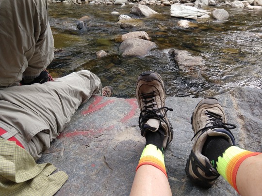
When the trail suddenly ended, we saw a large flat rock at the edge of the creek with a red heart painted on it, and took a break. That break turned into an hour-long siesta during which we just let go and enjoyed being in nature. Bo laid back and snoozed. It was warm but cloudy, and the cold water kept it refreshing. I just drank in the bright green leaves on the trees across the creek, the trickle of the water, the patterns on the rocks, and the play of light on the surface of the water. Several small planes flew overhead (we were not far from Rutland Airport) and we listened to the rumble of a train approaching, passing and departing, just beyond visibility through the trees.
We sat quietly, talked about life and the kids, and just breathed. It was idyllic, and we will definitely return with a picnic.
On the way back, Beto found the turnoff to the Long Trail not far from the suspension bridge, so we will be back next week. It starts straight up, so I anticipate a challenging hike.
By Lisa Hamm-Greenawalt